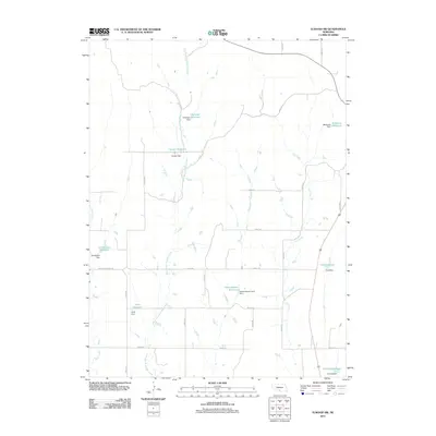
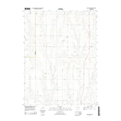
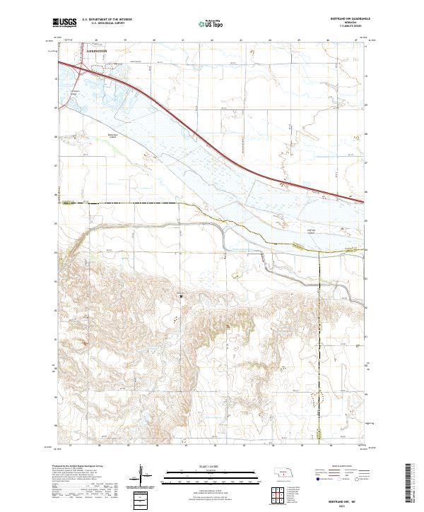
1962 Map of Bertrand NW
USGS Topo · Published 1984About this map
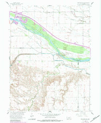
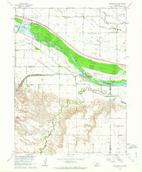
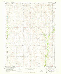
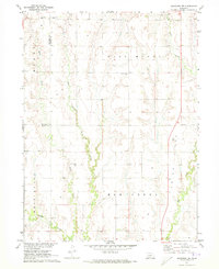
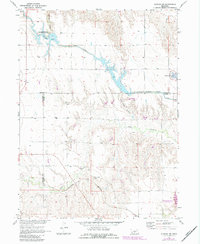
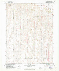
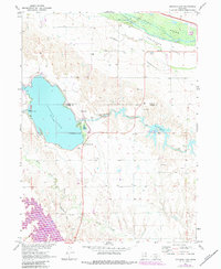
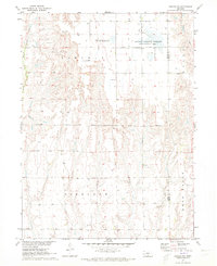
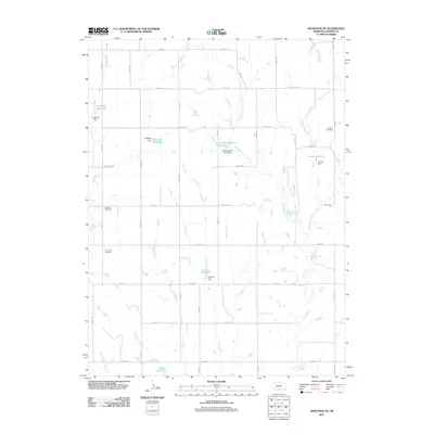
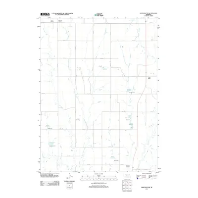
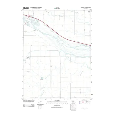
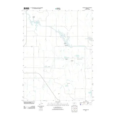
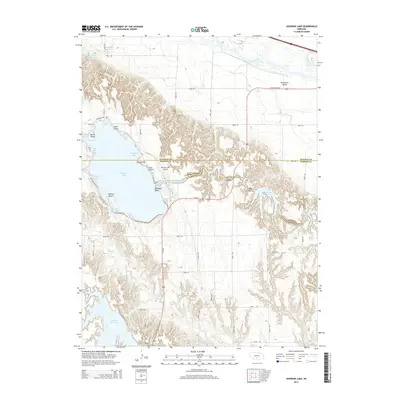
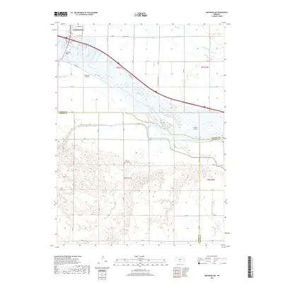
The braided channels of the Platte River dominate this Central Nebraska landscape, where the waterway splits into intricate paths around Danielson Island and Jeffreys Island. This mid-century survey illustrates the region's complex water management system, critical for agriculture in Dawson, Gosper, and Phelps counties. Engineered waterways like the Berquist Lateral and the Phelps County Canal divert water across the plains, while natural drainages like Plum Creek and Spring Creek wind through the township sections. Educational and recreational landmarks are scattered throughout the rural landscape, including the Spring Creek Sch and School No 31, along with the Westminster Woods Camp situated near the riverbanks. The map also records local industry through features such as a Gravel Pit, providing a detailed look at the rural infrastructure of the early 1960s.
Find a feature on this map
14 named features on this map. Tap any name to fly to it.
Don’t see what you’re looking for? This feature index may not catch every label — zoom into the map to look around manually.
Map Details
Editions of this 1962 Bertrand NW Map
2 editions found
Historical Maps of Lexington Through Time
35 maps found
1962 Bertrand NW
Gosper County, NE
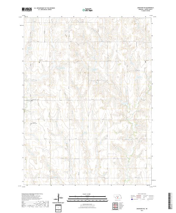
1971 Arapahoe NE
Gosper County, NE
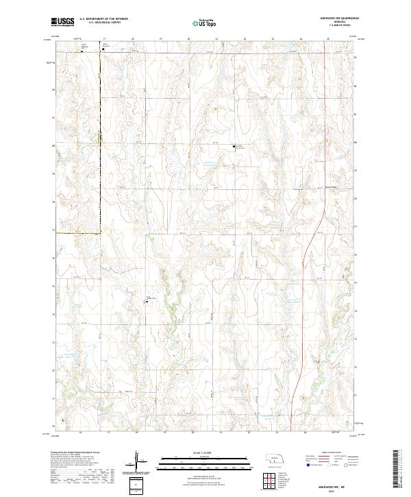
1971 Arapahoe NW
Gosper County, NE
1971 Elwood NW
Gosper County, NE
1971 Elwood SW
Gosper County, NE
1971 Johnson Lake
Gosper County, NE
1971 Oxford NW
Gosper County, NE
2011 Arapahoe NE
Gosper County, NE
2011 Arapahoe NW
Gosper County, NE
2011 Bertrand NW
Gosper County, NE
2011 Elwood NW
Gosper County, NE
2011 Elwood SW
Gosper County, NE
2011 Johnson Lake
Gosper County, NE
2011 Oxford NW
Gosper County, NE
2014 Arapahoe NE
Gosper County, NE
2014 Arapahoe NW
Gosper County, NE
2014 Bertrand NW
Gosper County, NE
2014 Elwood NW
Gosper County, NE
2014 Elwood SW
Gosper County, NE
2014 Johnson Lake
Gosper County, NE
2014 Oxford NW
Gosper County, NE
2017 Arapahoe NE
Gosper County, NE
2017 Arapahoe NW
Gosper County, NE
2017 Bertrand NW
Gosper County, NE
2017 Elwood NW
Gosper County, NE
2017 Elwood SW
Gosper County, NE
2017 Johnson Lake
Gosper County, NE
2017 Oxford NW
Gosper County, NE
2021 Arapahoe NE
Gosper County, NE
2021 Arapahoe NW
Gosper County, NE
2021 Bertrand NW
Gosper County, NE
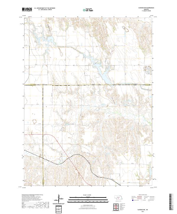
2021 Elwood NW
Gosper County, NE
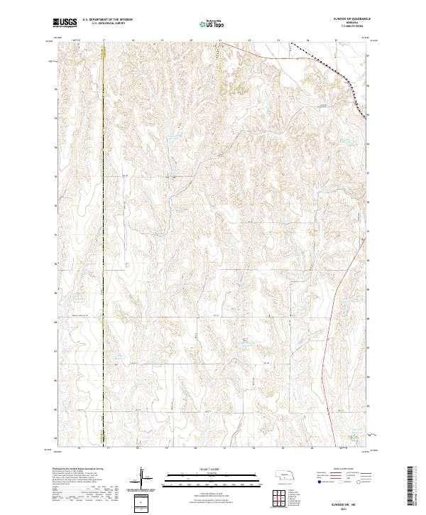
2021 Elwood SW
Gosper County, NE
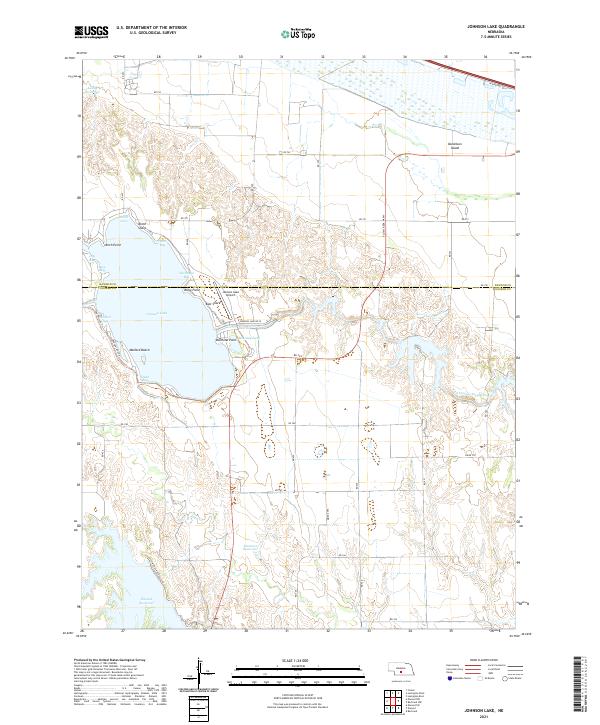
2021 Johnson Lake
Gosper County, NE
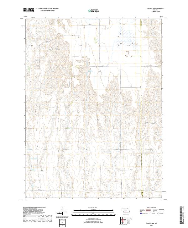
2021 Oxford NW
Gosper County, NE