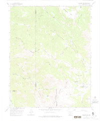
1966 Map of Elwood Pass
USGS Topo · Published 1975About this map
Elwood Pass and the surrounding high country of the Southern Rockies are captured here in a 1966 field study, documenting the intricate boundary lines between Mineral, Rio Grande, Conejos, and Archuleta counties. This high-altitude landscape is defined by the Continental Divide Trail and a network of jeep and pack trails that connected isolated outposts like the McCormick Cabin and the Elwood Guard Sta.
Find a feature on this map
40 named features on this map. Tap any name to fly to it.
Don’t see what you’re looking for? This feature index may not catch every label — zoom into the map to look around manually.
Map Details
Editions of this 1966 Elwood Pass Map
4 editions found
Other maps of this area

1913 · Summitville
USGS Topo · 1:125,000

1914 · Creede
USGS Topo · 1:125,000

1915 · Summitville
USGS Topo · 1:125,000

1916 · Creede
USGS Topo · 1:125,000

1945 · Durango
USGS Topo · 1:250,000

1953 · Durango
USGS Topo · 1:250,000

1954 · Durango
USGS Topo · 1:250,000

1957 · Wolf Creek Pass
USGS Topo · 1:62,500

1957 · Spar City
USGS Topo · 1:62,500

1961 · Durango
USGS Topo · 1:250,000