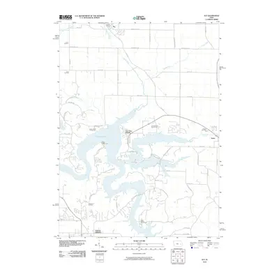
2010 Map of Ely
USGS Topo · Published 2010About this map
Coralville Lake and Lake MacBride dominate the central landscape of this Johnson County quadrangle, where the impounded waters of the Iowa River create a complex network of points and coves. The recreation-heavy shoreline is marked by the Lake MacBride Golf Course and numerous sites such as Sugar Bottom Campground, Jolly Rogers Campground, and Sandy Beach Campground. Surrounding these waters, residential developments like Twin View Heights and the edges of North Liberty and Solon show the area's growth as a suburban and recreational hub.
Find a feature on this map
56 named features on this map. Tap any name to fly to it.
Don’t see what you’re looking for? This feature index may not catch every label — zoom into the map to look around manually.
Map Details
Editions of this 2010 Ely Map
This is the sole edition of this map. No revisions or reprints were ever made.
Other maps of this area

1887 · Cedar Rapids
USGS Topo · 1:62,500

1891 · Mechanicsville
USGS Topo · 1:62,500

1891 · Cedar Rapids
USGS Topo · 1:62,500

1891 · Iowa City
USGS Topo · 1:62,500

1894 · Mechanicsville
USGS Topo · 1:62,500

1894 · West Liberty
USGS Topo · 1:62,500

1901 · Stanwood
USGS Topo · 1:125,000

1903 · Fairfax
USGS Topo · 1:125,000

1938 · Iowa City
USGS Topo · 1:62,500

1958 · Davenport
USGS Topo · 1:250,000