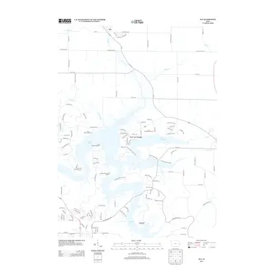
2013 Map of Ely
USGS Topo · Published 2013About this map
Ely sits at the northern edge of this landscape, where the rural road network begins to give way to the sprawling recreational waters of the Iowa River valley. Much of the map is defined by the intricate shorelines of Coralville Lake and Lake Mcbride, which were created by mid-century damming projects to manage the flow of Hoosier Cr and Lingle Cr. This terrain is deeply integrated with public recreation, featuring the extensive Lake Macbride State Park and the residential community of Twin View Heights situated on a narrow peninsula between the two major water bodies.
Find a feature on this map
121 named features on this map. Tap any name to fly to it.
Don’t see what you’re looking for? This feature index may not catch every label — zoom into the map to look around manually.
Map Details
Editions of this 2013 Ely Map
This is the sole edition of this map. No revisions or reprints were ever made.
Other maps of this area
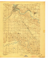
1887 · Cedar Rapids
USGS Topo · 1:62,500
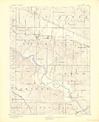
1891 · Mechanicsville
USGS Topo · 1:62,500
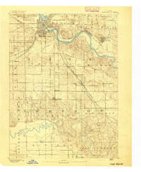
1891 · Cedar Rapids
USGS Topo · 1:62,500
1891 · Iowa City
USGS Topo · 1:62,500
1894 · Mechanicsville
USGS Topo · 1:62,500
1894 · West Liberty
USGS Topo · 1:62,500
1901 · Stanwood
USGS Topo · 1:125,000
1903 · Fairfax
USGS Topo · 1:125,000
1938 · Iowa City
USGS Topo · 1:62,500
1958 · Davenport
USGS Topo · 1:250,000