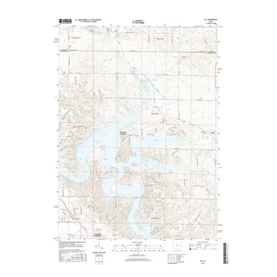
2015 Map of Ely
USGS Topo · Published 2015About this map
Lake McBride and the sprawling fingers of Coralville Lake dominate the southern half of this Johnson County landscape, illustrating a region defined by modern water management and recreation. The interface between water and land is densely subdivided, especially near Twin View Heights and the growing northern edge of North Liberty. To the north, the terrain transitions into a more traditional Iowa agricultural grid along the Linn County and Johnson County line, where the town of Ely sits at a crossroads of rural routes like Ely Road NE and Banner Valley Road. Genealogists will find a high density of rural burial sites preserved amidst the farmland and lakefront developments, including Facklers Grove Cem and Sulek Cem. The map tracks the winding course of Hoosier Creek and Mill Creek as they feed into the larger reservoirs, showing a landscape where older agricultural patterns meet 21st-century residential growth near Solon.
Find a feature on this map
110 named features on this map. Tap any name to fly to it.
Don’t see what you’re looking for? This feature index may not catch every label — zoom into the map to look around manually.
Map Details
Editions of this 2015 Ely Map
This is the sole edition of this map. No revisions or reprints were ever made.
Other maps of this area
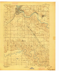
1887 · Cedar Rapids
USGS Topo · 1:62,500
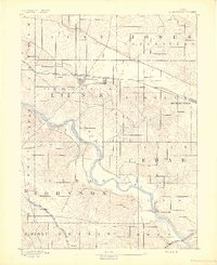
1891 · Mechanicsville
USGS Topo · 1:62,500
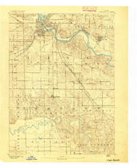
1891 · Cedar Rapids
USGS Topo · 1:62,500
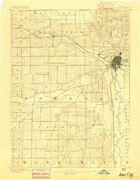
1891 · Iowa City
USGS Topo · 1:62,500
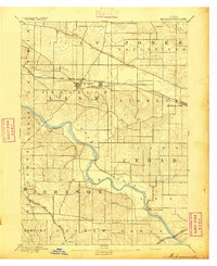
1894 · Mechanicsville
USGS Topo · 1:62,500
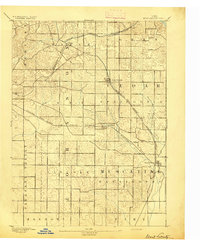
1894 · West Liberty
USGS Topo · 1:62,500
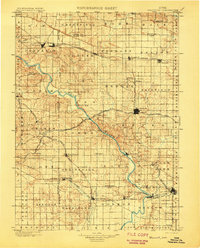
1901 · Stanwood
USGS Topo · 1:125,000
1903 · Fairfax
USGS Topo · 1:125,000
1938 · Iowa City
USGS Topo · 1:62,500
1958 · Davenport
USGS Topo · 1:250,000