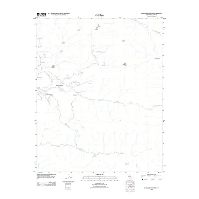
2012 Map of Emerald Mountain
USGS Topo · Published 2012About this map
Emerald Mountain and Weldon Peak anchor this rugged section of Kern County, where canyon networks and high ridges define the local geography. The landscape is marked by a series of remote homesteads and ranching outposts, including Benner Ranch, Wooden Shoe Annies Ranch, and Weldons Ranch, linked by winding mountain routes like John Fremont Rd and Twin Oaks Way. Water sources are critical here, evidenced by named features such as Soda Springs, Mud Springs, and the seasonal flow of Caliente Cr.
Find a feature on this map
53 named features on this map. Tap any name to fly to it.
Don’t see what you’re looking for? This feature index may not catch every label — zoom into the map to look around manually.
Map Details
Editions of this 2012 Emerald Mountain Map
This is the sole edition of this map. No revisions or reprints were ever made.
Other maps of this area
1915 · Mojave
USGS Topo · 1:125,000
1943 · Tehachapi
USGS Topo · 1:62,500
1943 · Cross Mountain
USGS Topo · 1:62,500
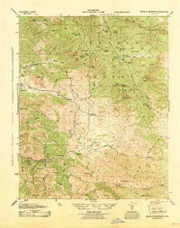
1943 · Emerald Mtn
USGS Topo · 1:62,500
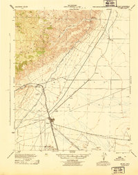
1943 · Mojave
USGS Topo · 1:62,500
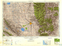
1948 · Bakersfield
USGS Topo · 1:250,000
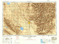
1955 · Bakersfield
USGS Topo · 1:250,000
1956 · Bakersfield
USGS Topo · 1:250,000
1956 · Mojave
USGS Topo · 1:62,500
1960 · Bakersfield
USGS Topo · 1:250,000