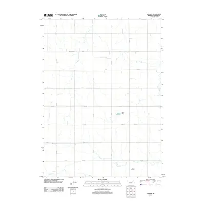
2011 Map of Emerick
USGS Topo · Published 2011About this map
Emerick serves as the quiet anchor of this agricultural landscape in Madison County, where the surveyed grid of section roads meets the natural drainage of Deer Creek and the southern reaches of Battle Creek. The rural character of the era is defined by large land tracts and established family burial grounds, including Hutchins Cemetery to the north and Osborn Cemetery near the southern boundary. Water management is a visible priority for the local farms, evidenced by the infrastructure at Klein Reservoir and Klein Dam. This 2011 survey records the persistent section-line road network, such as 833 Rd and 541 Ave, which has shaped local navigation and property boundaries for generations. The area remains dedicated to a pastoral economy, with the few named landmarks serving as vital touchstones for family historians tracing roots in this corner of Nebraska.
Find a feature on this map
27 named features on this map. Tap any name to fly to it.
Don’t see what you’re looking for? This feature index may not catch every label — zoom into the map to look around manually.
Map Details
Editions of this 2011 Emerick Map
This is the sole edition of this map. No revisions or reprints were ever made.
Other maps of this area

1955 · Sioux City
USGS Topo · 1:250,000

1955 · Fremont
USGS Topo · 1:250,000

1957 · Fremont
USGS Topo · 1:250,000

1958 · Sioux City
USGS Topo · 1:250,000

1958 · Fremont
USGS Topo · 1:250,000

1959 · Sioux City
USGS Topo · 1:250,000

1963 · Battle Creek
USGS Topo · 1:24,000

1963 · Pierce SE
USGS Topo · 1:24,000

1963 · Emerick
USGS Topo · 1:24,000

1963 · Meadow Grove
USGS Topo · 1:24,000