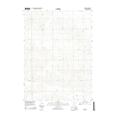
2014 Map of Emerick
USGS Topo · Published 2014About this map
The settlement of Emerick sits in the southwestern portion of this Nebraska landscape, characterized by a regular grid of section roads typical of the Great Plains. The territory is defined by the winding paths of Battle Cr and Deer Cr, which provide natural drainage through the agricultural fields of Madison County. Two small burial sites, Hutchins Cem and Osborn Cem, are preserved within this landscape, serving as vital touchstones for family historians and genealogists researching the area's early residents. The Klein Reservoir provides a localized water feature amidst the rolling contours, while the extensive road network, including 839th RD and 539th Ave, illustrates the structured development of this rural community.
Find a feature on this map
20 named features on this map. Tap any name to fly to it.
Don’t see what you’re looking for? This feature index may not catch every label — zoom into the map to look around manually.
Map Details
Editions of this 2014 Emerick Map
This is the sole edition of this map. No revisions or reprints were ever made.
Other maps of this area
1955 · Sioux City
USGS Topo · 1:250,000
1955 · Fremont
USGS Topo · 1:250,000
1957 · Fremont
USGS Topo · 1:250,000
1958 · Sioux City
USGS Topo · 1:250,000
1958 · Fremont
USGS Topo · 1:250,000
1959 · Sioux City
USGS Topo · 1:250,000
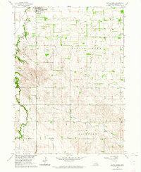
1963 · Battle Creek
USGS Topo · 1:24,000
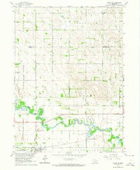
1963 · Pierce SE
USGS Topo · 1:24,000
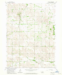
1963 · Emerick
USGS Topo · 1:24,000
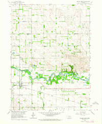
1963 · Meadow Grove
USGS Topo · 1:24,000