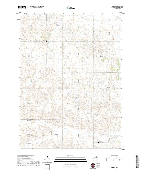
2021 Map of Emerick
USGS Topo · Published 2021About this map
The settlement of Emerick and the surrounding agricultural landscape of Madison County are defined by a rhythmic grid of section lines and gravel roads. In this modern survey of the region, the terrain is shaped by the drainage patterns of Deer Cr and Battle Cr, which cut through the undulating Nebraska prairie. Two small, family-named burial grounds, Hutchins Cem and Osborn Cem, remain preserved among the fields, serving as vital landmarks for genealogists tracing early pioneer families in the township. The presence of Klein Reservoir in the eastern half of the map illustrates the ongoing management of water resources in this farming-dependent environment, where the section roads such as 839 RD and 542nd Ave still follow the original Public Land Survey System boundaries established over a century ago.
Find a feature on this map
24 named features on this map. Tap any name to fly to it.
Don’t see what you’re looking for? This feature index may not catch every label — zoom into the map to look around manually.
Map Details
Editions of this 2021 Emerick Map
This is the sole edition of this map. No revisions or reprints were ever made.
Other maps of this area

1955 · Sioux City
USGS Topo · 1:250,000

1955 · Fremont
USGS Topo · 1:250,000

1957 · Fremont
USGS Topo · 1:250,000

1958 · Sioux City
USGS Topo · 1:250,000

1958 · Fremont
USGS Topo · 1:250,000

1959 · Sioux City
USGS Topo · 1:250,000

1963 · Battle Creek
USGS Topo · 1:24,000

1963 · Pierce SE
USGS Topo · 1:24,000

1963 · Emerick
USGS Topo · 1:24,000

1963 · Meadow Grove
USGS Topo · 1:24,000