
1955 Map of Emerson Lake
USGS Topo · Published 1956About this map
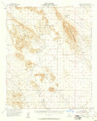
Emerson Lake and the surrounding high desert basin dominate this mid-century topographical study of the California interior. The landscape is defined by its arid geography and early resource extraction, evidenced by various prospects and shafts like the Blue Ribbon Mine and Crystal Mine dotting the foothills of Hidalgo Mountain. Small-scale settlement is concentrated near Landers, while the surrounding terrain is marked by dry lake beds such as Quackenbush Lake and Means Lake.
Find a feature on this map
33 named features on this map. Tap any name to fly to it.
Don’t see what you’re looking for? This feature index may not catch every label — zoom into the map to look around manually.
Map Details
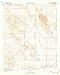
Editions of this 1955 Emerson Lake Map
3 editions found
Other maps of this area

1901 · Southern California Sheet No. 1
USGS Topo · 1:250,000

1902 · San Gorgonio
USGS Topo · 1:125,000

1904 · Southern California Sheet No. 1
USGS Topo · 1:250,000

1953 · San Bernardino
USGS Topo · 1:250,000

1954 · Galway Lake
USGS Topo · 1:24,000

1954 · Hidalgo Mtn
USGS Topo · 1:24,000

1954 · Emerson Lake
USGS Topo · 1:24,000

1955 · Deadman Lake NW
USGS Topo · 1:24,000

1955 · Lavic SE
USGS Topo · 1:24,000

1955 · Goat Mountain
USGS Topo · 1:24,000