
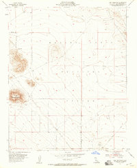
1955 Map of Goat Mountain
USGS Topo · Published 1955About this map
The Naval Marine Corps Training Center Reservation occupies much of this high desert landscape, defined by sharp topographical rises and military boundary lines. Surveyed in the mid-1950s, the map reveals a transition between military land use and early resource exploration in San Bernardino County. Activity is concentrated around the base of Goat Mountain, where a Mine Tunnel and various Prospects suggest a history of mining interest. The rugged terrain is further marked by Sand Hill Vabm 2837 and scattered water sources like Surprise Spring. Infrastructure of the era is minimal, primarily consisting of the Giant Rock Road and unimproved dirt tracks that connect this arid region toward Twentynine Palms. The lack of established settlements highlights the remote, specialized nature of this tract during the post-war expansion of desert training facilities.
Find a feature on this map
11 named features on this map. Tap any name to fly to it.
Don’t see what you’re looking for? This feature index may not catch every label — zoom into the map to look around manually.
Map Details
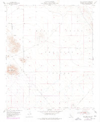
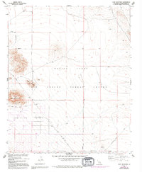
Editions of this 1955 Goat Mountain Map
4 editions found
Other maps of this area

1953 · San Bernardino
USGS Topo · 1:250,000

1954 · Hidalgo Mtn
USGS Topo · 1:24,000

1954 · Emerson Lake
USGS Topo · 1:24,000

1955 · Deadman Lake NW
USGS Topo · 1:24,000

1955 · Deadman Lake SW
USGS Topo · 1:24,000

1955 · Twentynine Palms
USGS Topo · 1:62,500

1955 · Emerson Lake
USGS Topo · 1:62,500
1955 · Deadman Lake
USGS Topo · 1:62,500

1955 · Joshua Tree
USGS Topo · 1:62,500

1956 · San Bernardino
USGS Topo · 1:250,000