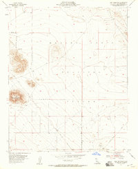
1955 Map of Goat Mountain
USGS Topo · Published 1958About this map
Goat Mountain stands as a prominent landmark in this desert region of San Bernardino County during the mid-1950s. The landscape reflects a transition toward military utilization, as evidenced by the extensive Naval Reservation Boundary and the designated Marine Corps Training Center land. These military markers overlay a terrain defined by older mining activity, with a specific Mine Tunnel and scattered Prospects located near the peaks. Transportation across this arid environment is limited to unpaved routes such as Giant Rock Road and Surprise Spring Road. In the south, the isolated peak of Sand Hill rises above the valley floor, providing a reference point for early surveyors and travelers navigating this part of the California desert before significant modern development.
Find a feature on this map
10 named features on this map. Tap any name to fly to it.
Don’t see what you’re looking for? This feature index may not catch every label — zoom into the map to look around manually.
Map Details
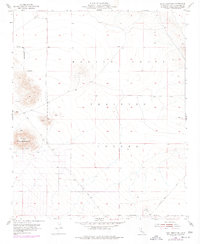
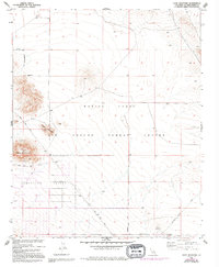
Editions of this 1955 Goat Mountain Map
4 editions found
Other maps of this area

1953 · San Bernardino
USGS Topo · 1:250,000

1954 · Hidalgo Mtn
USGS Topo · 1:24,000

1954 · Emerson Lake
USGS Topo · 1:24,000

1955 · Deadman Lake NW
USGS Topo · 1:24,000

1955 · Goat Mountain
USGS Topo · 1:24,000

1955 · Deadman Lake SW
USGS Topo · 1:24,000

1955 · Twentynine Palms
USGS Topo · 1:62,500

1955 · Emerson Lake
USGS Topo · 1:62,500
1955 · Deadman Lake
USGS Topo · 1:62,500

1955 · Joshua Tree
USGS Topo · 1:62,500