
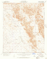
1955 Map of Deadman Lake SW
USGS Topo · Published 1955About this map
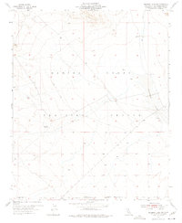
The Marine Corps Training Center dominates this high-desert landscape in San Bernardino County, capturing a pivotal moment in the mid-1950s as the American military solidified its presence in the Mojave. This area is defined by its arid, isolated character, where vital water sources like Surprise Spring provided essential markers for navigation. The map shows the eastern edge of military operations, stretching toward the Deadman Lake basin, which served as a natural focal point for activity. A lone Landing Field near the dry lake bed and a network of Jeep Trails cutting through the terrain illustrate the era's reliance on rugged, adaptable transportation for desert training. The presence of the Naval Reservation Boundary at the southern edge highlights the complex overlapping of military jurisdictions that shaped this remote region of California during the Cold War era.
Find a feature on this map
7 named features on this map. Tap any name to fly to it.
Don’t see what you’re looking for? This feature index may not catch every label — zoom into the map to look around manually.
Map Details
Editions of this 1955 Deadman Lake SW Map
5 editions found
Other maps of this area

1953 · San Bernardino
USGS Topo · 1:250,000

1954 · Hidalgo Mtn
USGS Topo · 1:24,000

1955 · Deadman Lake NW
USGS Topo · 1:24,000

1955 · Goat Mountain
USGS Topo · 1:24,000

1955 · Deadman Lake SE
USGS Topo · 1:24,000

1955 · Deadman Lake NE
USGS Topo · 1:24,000

1955 · Twentynine Palms
USGS Topo · 1:24,000

1955 · Twentynine Palms
USGS Topo · 1:62,500

1955 · Emerson Lake
USGS Topo · 1:62,500
1955 · Deadman Lake
USGS Topo · 1:62,500