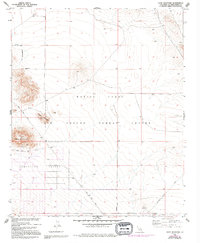
1955 Map of Goat Mountain
USGS Topo · Published 1994About this map
Homestead Valley occupies the southern reach of this landscape, where early desert settlement patterns emerge along a network of primitive tracks. The terrain is defined by the prominent Goat Mountain and Reche Mountain, while the northern and eastern portions are dominated by the Marine Corps Air Ground Combat Center. Historical exploration and extraction are evident in the numerous Prospects and a specific Mine Tunnel located on the southwestern slopes of Goat Mountain. The presence of the Naval Reservation Boundary underscores the region's transition from open range to a restricted military training area. For genealogists and desert historians, the map preserves the exact alignment of early transit routes like Giant Rock Road and Reche Road before modern development shifted the character of the San Bernardino high desert.
Find a feature on this map
15 named features on this map. Tap any name to fly to it.
Don’t see what you’re looking for? This feature index may not catch every label — zoom into the map to look around manually.
Map Details
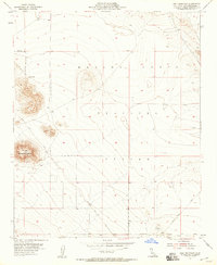
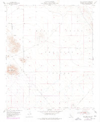
Editions of this 1955 Goat Mountain Map
4 editions found
Other maps of this area

1953 · San Bernardino
USGS Topo · 1:250,000

1954 · Hidalgo Mtn
USGS Topo · 1:24,000

1954 · Emerson Lake
USGS Topo · 1:24,000

1955 · Deadman Lake NW
USGS Topo · 1:24,000

1955 · Goat Mountain
USGS Topo · 1:24,000

1955 · Deadman Lake SW
USGS Topo · 1:24,000

1955 · Twentynine Palms
USGS Topo · 1:62,500

1955 · Emerson Lake
USGS Topo · 1:62,500
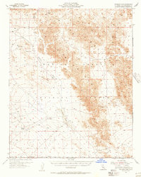
1955 · Deadman Lake
USGS Topo · 1:62,500

1955 · Joshua Tree
USGS Topo · 1:62,500