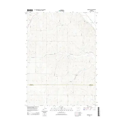
2014 Map of Emerson SE
USGS Topo · Published 2014About this map
Dakota County and Thurston County meet in this agricultural landscape defined by a network of drainage and local landmarks. The area's history is anchored by several burial grounds, including Taylor Cemetery and Grove Cemetery, which serve as permanent markers of early settlement families. Significant water management is evident through features like the Pigeon Creek Ditch and the Hirsch Reservoir, highlighting the area's transition from natural prairie to a managed farming environment. The terrain is divided by several named waterways such as Wigle Creek, Fiddlers Creek, and Turtle Creek, which create natural corridors through the grid-based road system. This survey also records localized features like Baird Spring, providing specific points of interest for those studying the local genealogy and land use of the northeast Nebraska plains.
Find a feature on this map
48 named features on this map. Tap any name to fly to it.
Don’t see what you’re looking for? This feature index may not catch every label — zoom into the map to look around manually.
Map Details
Editions of this 2014 Emerson SE Map
This is the sole edition of this map. No revisions or reprints were ever made.
Other maps of this area

1955 · Sioux City
USGS Topo · 1:250,000

1958 · Sioux City
USGS Topo · 1:250,000

1959 · Sioux City
USGS Topo · 1:250,000

1963 · Sioux City South
USGS Topo · 1:24,000

1964 · Homer
USGS Topo · 1:24,000

1966 · Walthill
USGS Topo · 1:24,000

1966 · Thurston
USGS Topo · 1:24,000

1966 · Pender NE
USGS Topo · 1:24,000

1967 · Waterbury
USGS Topo · 1:24,000
1967 · Jackson
USGS Topo · 1:24,000