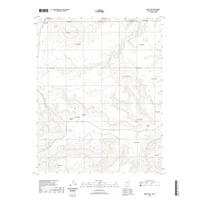
2020 Map of Emery Peak
USGS Topo · Published 2020About this map
Emery Peak and River Mesa dominate the high-altitude topography where the borders of Las Animas County, Colorado, and Union County, New Mexico, meet. This arid landscape is defined by its drainage systems, most notably the winding course of the Dry Cimarron River and the artificial Johns and Gleason Ditch, which suggest a history of water management in a region where surface water is scarce.
Find a feature on this map
28 named features on this map. Tap any name to fly to it.
Don’t see what you’re looking for? This feature index may not catch every label — zoom into the map to look around manually.
Map Details
Editions of this 2020 Emery Peak Map
This is the sole edition of this map. No revisions or reprints were ever made.
Other maps of this area

1891 · Mesa De Maya
USGS Topo · 1:125,000

1893 · Mesa de Maya
USGS Topo · 1:125,000

1954 · Dalhart
USGS Topo · 1:250,000

1955 · La Junta
USGS Topo · 1:250,000

1958 · La Junta
USGS Topo · 1:250,000

1958 · Dalhart
USGS Topo · 1:250,000

1962 · Dalhart
USGS Topo · 1:250,000

1968 · La Junta
USGS Topo · 1:250,000
1972 · Branson SE
USGS Topo · 1:24,000

1972 · Emery Peak
USGS Topo · 1:24,000