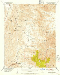
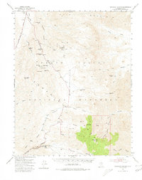
1952 Map of Emigrant Canyon
USGS Topo · Published 1953About this map
Skidoo and Harrisburg serve as the primary human touchpoints in this 1952 topographic study of the high desert, where mining operations and seasonal headquarters dot the landscape. The map details a network of vital water sources in an arid environment, including Emigrant Spring, Willow Spring, and Wildrose Spring. Situated within Death Valley National Monument, the terrain rises from the Harrisburg Flats to the heights of Pinto Peak and Wildrose Peak.
Find a feature on this map
65 named features on this map. Tap any name to fly to it.
Don’t see what you’re looking for? This feature index may not catch every label — zoom into the map to look around manually.
Map Details
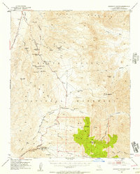
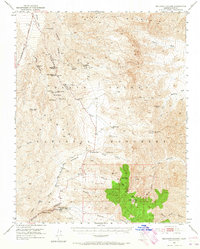
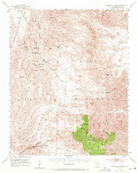
Editions of this 1952 Emigrant Canyon Map
6 editions found

Other maps of this area

1908 · Furnace Creek
USGS Topo · 1:250,000

1908 · Ballarat
USGS Topo · 1:250,000

1910 · Furnace Creek
USGS Topo · 1:250,000

1913 · Ballarat
USGS Topo · 1:250,000

1942 · Bullfrog
USGS Topo · 1:125,000

1948 · Death Valley
USGS Topo · 1:250,000

1951 · Panamint Butte
USGS Topo · 1:62,500

1951 · Maturango Peak
USGS Topo · 1:62,500

1951 · Marble Canyon
USGS Topo · 1:62,500

1952 · Chloride Cliff
USGS Topo · 1:50,000