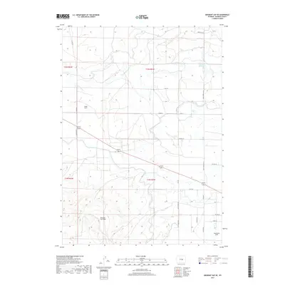
2017 Map of Emigrant Gap NE
USGS Topo · Published 2017About this map
Emigrant Gap Ridge dominates the southern portion of this high plains landscape in Natrona County, where the dry terrain is defined by deep drainages like Tudor Draw and Twelvemile Draw. The introduction of water management is central to the area's history, seen here in the extensive path of the Casper Canal and the Bishop Lateral which support local ranching and agriculture. The map documents a network of rural routes including Thirtythree Mile Rd and Bucknum RD, alongside waterways such as the S Fork Casper Cr and Bressler Reservoir. These features reflect the enduring importance of water rights and livestock movement in this part of Wyoming, notably emphasized by the presence of Cattle Trail Dr and Cattle Drive Rd.
Find a feature on this map
28 named features on this map. Tap any name to fly to it.
Don’t see what you’re looking for? This feature index may not catch every label — zoom into the map to look around manually.
Map Details
Editions of this 2017 Emigrant Gap NE Map
This is the sole edition of this map. No revisions or reprints were ever made.
Other maps of this area
1950 · Emigrant Gap
USGS Topo · 1:24,000
1950 · Goose Egg
USGS Topo · 1:24,000
1950 · Emigrant Gap NE
USGS Topo · 1:24,000
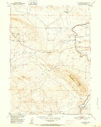
1951 · Oil Mountain
USGS Topo · 1:24,000
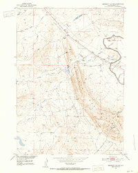
1951 · Emigrant Gap NW
USGS Topo · 1:24,000
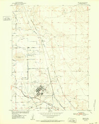
1952 · Bishop
USGS Topo · 1:24,000

1955 · Arminto
USGS Topo · 1:250,000

1955 · Casper
USGS Topo · 1:250,000

1958 · Casper
USGS Topo · 1:250,000

1958 · Arminto
USGS Topo · 1:250,000