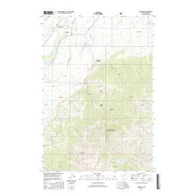
2017 Map of Emigrant
USGS Topo · Published 2017About this map
Chico Hot Springs serves as a historic landmark in this corner of Park County, where the transition from the Yellowstone River valley to the towering heights of the Absaroka Range defines the local geography. The settlement patterns reflect a history of mining and recreation, with the town of Emigrant positioned along the river while Chico and the smaller White City sit further up the drainage of Emigrant Cr. Traces of the region's development are evident in the winding Chico Cemetery Rd and the proximity of the Chico Cem to the valley floor. High-altitude landmarks like Emigrant Peak and Chico Peak dominate the southern half of the map, situated within the protected lands of the Gallatin National Forest. The landscape is etched by various gulches, including Moze Gulch and Conlin Gulch, which indicate the complex drainage systems feeding into the main river valley.
Find a feature on this map
49 named features on this map. Tap any name to fly to it.
Don’t see what you’re looking for? This feature index may not catch every label — zoom into the map to look around manually.
Map Details
Editions of this 2017 Emigrant Map
This is the sole edition of this map. No revisions or reprints were ever made.
Other maps of this area

1891 · Livingston
USGS Topo · 1:250,000

1893 · Livingston
USGS Topo · 1:250,000

1947 · Bozeman
USGS Topo · 1:250,000

1948 · Bozeman
USGS Topo · 1:250,000

1955 · Bozeman
USGS Topo · 1:250,000

1955 · Emigrant
USGS Topo · 1:62,500

1955 · Fridley Peak
USGS Topo · 1:62,500
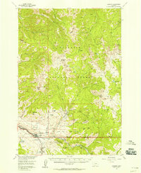
1955 · Gardiner
USGS Topo · 1:62,500
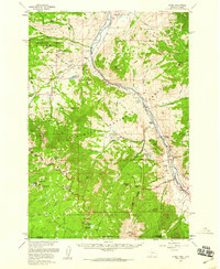
1955 · Miner
USGS Topo · 1:62,500

1958 · Bozeman
USGS Topo · 1:250,000