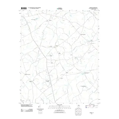
2011 Map of Emory
USGS Topo · Published 2011About this map
Richland and Emory serve as central nodes in this rural Saluda County landscape, where family heritage is deeply etched into the geography through numerous burial grounds. Genealogists can find the Johnsons Cemetery, Richland Springs Cemetery, and Saint Williams Cemetery interspersed among small crossroads settlements like Jones Crossroads and Mobleys Crossroads. The area's hydrology is defined by a network of creeks and small impoundments, including Richland Creek and Clouds Creek, punctuated by private water bodies such as Herlongs Pond and Berrys Pond.
Find a feature on this map
99 named features on this map. Tap any name to fly to it.
Don’t see what you’re looking for? This feature index may not catch every label — zoom into the map to look around manually.
Map Details
Editions of this 2011 Emory Map
This is the sole edition of this map. No revisions or reprints were ever made.
Other maps of this area

1941 · Spartanburg
USGS Topo · 1:250,000

1953 · Spartanburg
USGS Topo · 1:250,000

1954 · Augusta
USGS Topo · 1:250,000

1957 · Augusta
USGS Topo · 1:250,000

1958 · Augusta
USGS Topo · 1:250,000

1960 · Spartanburg
USGS Topo · 1:250,000

1961 · Augusta
USGS Topo · 1:250,000

1962 · Augusta
USGS Topo · 1:250,000

1963 · Spartanburg
USGS Topo · 1:250,000

1964 · Spartanburg
USGS Topo · 1:250,000