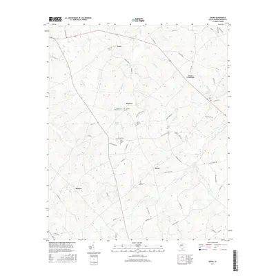
2017 Map of Emory
USGS Topo · Published 2017About this map
Richland and Emory anchor this rural landscape in Saluda County, characterized by a dense network of family and community cemeteries that reflect deep roots in the region. The terrain is defined by the winding course of Richland Cr and Clouds Cr, with several significant impoundments including Berrys Pond, Herlongs Pond, and Amicks Pond dotting the drainages. These water features, alongside smaller tributaries like Canebrake Br and Jacobs Br, have historically shaped the agricultural and settlement patterns of the area.
Find a feature on this map
66 named features on this map. Tap any name to fly to it.
Don’t see what you’re looking for? This feature index may not catch every label — zoom into the map to look around manually.
Map Details
Editions of this 2017 Emory Map
This is the sole edition of this map. No revisions or reprints were ever made.
Other maps of this area
1941 · Spartanburg
USGS Topo · 1:250,000
1953 · Spartanburg
USGS Topo · 1:250,000
1954 · Augusta
USGS Topo · 1:250,000
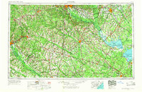
1957 · Augusta
USGS Topo · 1:250,000
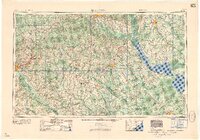
1958 · Augusta
USGS Topo · 1:250,000
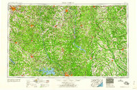
1960 · Spartanburg
USGS Topo · 1:250,000
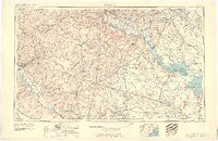
1961 · Augusta
USGS Topo · 1:250,000
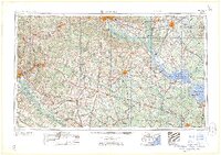
1962 · Augusta
USGS Topo · 1:250,000

1963 · Spartanburg
USGS Topo · 1:250,000
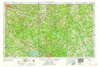
1964 · Spartanburg
USGS Topo · 1:250,000