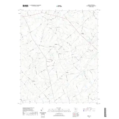
2020 Map of Emory
USGS Topo · Published 2020About this map
Richland and Emory anchor this rural landscape in Saluda County, where a network of agricultural roads and creeks defines the local geography. The area is notable for its numerous family and community burial grounds, including Richland Springs Cem, Saint Williams Cem, and Johnsons Cem, which offer significant value for genealogical research in this part of South Carolina.
Find a feature on this map
90 named features on this map. Tap any name to fly to it.
Don’t see what you’re looking for? This feature index may not catch every label — zoom into the map to look around manually.
Map Details
Editions of this 2020 Emory Map
This is the sole edition of this map. No revisions or reprints were ever made.
Other maps of this area

1941 · Spartanburg
USGS Topo · 1:250,000

1953 · Spartanburg
USGS Topo · 1:250,000

1954 · Augusta
USGS Topo · 1:250,000

1957 · Augusta
USGS Topo · 1:250,000

1958 · Augusta
USGS Topo · 1:250,000

1960 · Spartanburg
USGS Topo · 1:250,000

1961 · Augusta
USGS Topo · 1:250,000

1962 · Augusta
USGS Topo · 1:250,000

1963 · Spartanburg
USGS Topo · 1:250,000

1964 · Spartanburg
USGS Topo · 1:250,000