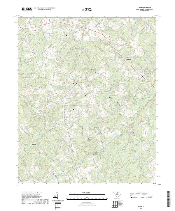
2024 Map of Emory
USGS Topo · Published 2024About this map
Emory and Richland anchor this rural Saluda County landscape, where an extensive network of family and community graveyards preserves the area's genealogical history. The terrain is defined by a dense drainage system feeding into Clouds Creek and Indian Creek, with numerous ponds such as Herlongs Pond and Berrys Pond scattered across the countryside. Small settlements like Jones Crossroads and Speigner illustrate the traditional South Carolina crossroads development pattern, connected by a web of local routes including Duncan Rd and Sardis Rd.
Find a feature on this map
98 named features on this map. Tap any name to fly to it.
Don’t see what you’re looking for? This feature index may not catch every label — zoom into the map to look around manually.
Map Details
Editions of this 2024 Emory Map
This is the sole edition of this map. No revisions or reprints were ever made.
Other maps of this area

1941 · Spartanburg
USGS Topo · 1:250,000

1953 · Spartanburg
USGS Topo · 1:250,000

1954 · Augusta
USGS Topo · 1:250,000

1957 · Augusta
USGS Topo · 1:250,000

1958 · Augusta
USGS Topo · 1:250,000

1960 · Spartanburg
USGS Topo · 1:250,000

1961 · Augusta
USGS Topo · 1:250,000

1962 · Augusta
USGS Topo · 1:250,000

1963 · Spartanburg
USGS Topo · 1:250,000

1964 · Spartanburg
USGS Topo · 1:250,000