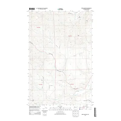
2014 Map of Empey Mountain
USGS Topo · Published 2014About this map
Empey Mtn and its surrounding peaks define this portion of Stevens County, where the landscape is carved by the complex drainage systems of Deer Cr and the multiple branches of Chamokane Cr. In the northern reach, Miller Meadow and King Meadow sit near the high point of Cooney Mtn, suggesting a history of seasonal grazing or high-country activity. The lower elevations to the south open into Camas Valley, a traditional landmark and transit point. A dense network of local roads such as Deer Creek Rd, Springdale-Hunters Rd, and BIA Highway 3 reflects the region's development as a rural corridor. The terrain is marked by significant ridgelines including Bottle Ridge and Bear Ridge, with Sorenson Canyon cutting through the southeast, illustrating a rugged topography that has shaped settlement and travel patterns in this part of Washington.
Find a feature on this map
36 named features on this map. Tap any name to fly to it.
Don’t see what you’re looking for? This feature index may not catch every label — zoom into the map to look around manually.
Map Details
Editions of this 2014 Empey Mountain Map
This is the sole edition of this map. No revisions or reprints were ever made.
Other maps of this area
1927 · Chewelah
USGS Topo · 1:125,000
1930 · Chewelah
USGS Topo · 1:125,000
1944 · Wellpinit
USGS Topo · 1:62,500
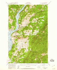
1948 · Hunters
USGS Topo · 1:62,500
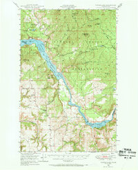
1948 · Turtle Lake
USGS Topo · 1:62,500
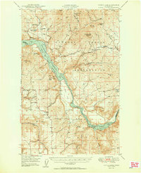
1950 · Turtle Lake
USGS Topo · 1:62,500
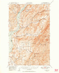
1950 · Hunters
USGS Topo · 1:62,500
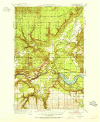
1953 · Wellpinit
USGS Topo · 1:62,500
1953 · Ritzville
USGS Topo · 1:250,000

1954 · Okanogan
USGS Topo · 1:250,000