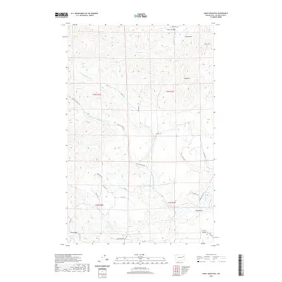
2020 Map of Empey Mountain
USGS Topo · Published 2020About this map
Camas Valley anchors the southeastern reaches of this landscape, where the terrain transitions from the headwaters of the Chamokane Cr system toward the higher elevations of the Huckleberry Mountains. This 2020 survey reveals a complex network of forest and ranch access roads, including Springdale-Hunters Rd and Gennett Rd, which snake through the drainages of N Fork Chamokane Cr and Middle Fork Chamokane Cr. The map preserves names of localized clearings and family-associated landmarks such as King Meadow and Miller Meadow in the northern sections, situated near Deer Cr. Elevations rise significantly toward Empey Mtn and Cooney Mtn, while the southwestern corner is defined by the prominent Bottle Ridge. This modern record illustrates the contemporary rural layout of Stevens County, documenting the specific path of tribal routes like Bia Hwy 3 alongside established county ways.
Find a feature on this map
33 named features on this map. Tap any name to fly to it.
Don’t see what you’re looking for? This feature index may not catch every label — zoom into the map to look around manually.
Map Details
Editions of this 2020 Empey Mountain Map
This is the sole edition of this map. No revisions or reprints were ever made.
Other maps of this area
1927 · Chewelah
USGS Topo · 1:125,000
1930 · Chewelah
USGS Topo · 1:125,000
1944 · Wellpinit
USGS Topo · 1:62,500
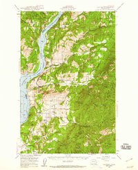
1948 · Hunters
USGS Topo · 1:62,500
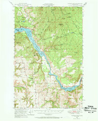
1948 · Turtle Lake
USGS Topo · 1:62,500
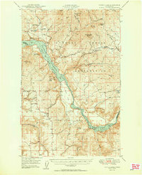
1950 · Turtle Lake
USGS Topo · 1:62,500
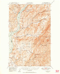
1950 · Hunters
USGS Topo · 1:62,500
1953 · Wellpinit
USGS Topo · 1:62,500
1953 · Ritzville
USGS Topo · 1:250,000
1954 · Okanogan
USGS Topo · 1:250,000