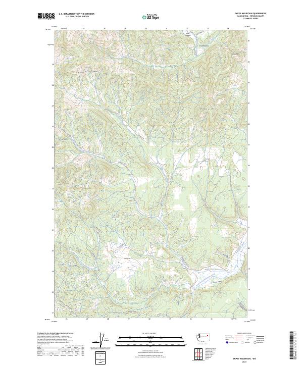
2023 Map of Empey Mountain
USGS Topo · Published 2023About this map
Empey Mtn and Huckleberry Mtn dominate the high terrain of this Stevens County landscape, where the headwaters of several major creek systems originate. The geography is defined by a series of branching drainages, notably the North Fork, Middle Fork, and South Fork Chamokane Creek, which converge as they flow toward the lowland flats. In the northern reaches, the terrain levels into high clearings at Miller Meadow and King Meadow, while the southern portion of the map transitions into the broader expanse of Camas Valley. This area is accessed by a network of established routes including Springdale-Hunters Rd and Gennett Rd, reflecting a landscape managed for timber and rural transit. Local family names and geographic landmarks like Sorenson Canyon and Bottle Ridge provide points of reference for those studying the land use and topography of this part of eastern Washington.
Find a feature on this map
36 named features on this map. Tap any name to fly to it.
Don’t see what you’re looking for? This feature index may not catch every label — zoom into the map to look around manually.
Map Details
Editions of this 2023 Empey Mountain Map
This is the sole edition of this map. No revisions or reprints were ever made.
Other maps of this area

1927 · Chewelah
USGS Topo · 1:125,000

1930 · Chewelah
USGS Topo · 1:125,000

1944 · Wellpinit
USGS Topo · 1:62,500

1948 · Hunters
USGS Topo · 1:62,500

1948 · Turtle Lake
USGS Topo · 1:62,500

1950 · Turtle Lake
USGS Topo · 1:62,500

1950 · Hunters
USGS Topo · 1:62,500

1953 · Wellpinit
USGS Topo · 1:62,500

1953 · Ritzville
USGS Topo · 1:250,000

1954 · Okanogan
USGS Topo · 1:250,000