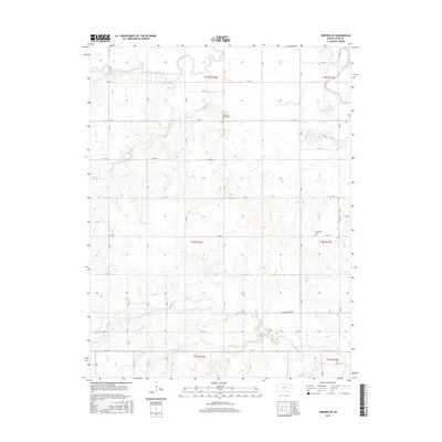
2015 Map of Emporia SE
USGS Topo · Published 2015About this map
The confluence of the Cottonwood River and Neosho River anchors this corner of Lyon County, where the rivers meander through wide floodplains before feeding into the northern reaches of the John Redmond Reservoir. This landscape is defined by its transition from the managed riparian corridors of the rivers to the dissected uplands of the Flint Hills region. The distribution of cultural landmarks, such as Chicago Mound Cem and Mennonite Cem, reflects the rural settlement patterns established long ago along the county’s section lines. Numerous seasonal drainages including Coal Cr, Eagle Cr, and Hooster Cr carve into the terrain, illustrating the intricate natural drainage network that supports the local agricultural economy. The road network, including the Olpe-Hartford Rd, maintains the rigid grid of the Public Land Survey System, which continues to shape movement through this prairie landscape.
Find a feature on this map
39 named features on this map. Tap any name to fly to it.
Don’t see what you’re looking for? This feature index may not catch every label — zoom into the map to look around manually.
Map Details
Editions of this 2015 Emporia SE Map
This is the sole edition of this map. No revisions or reprints were ever made.
Other maps of this area
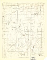
1885 · Burlington
USGS Topo · 1:125,000
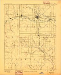
1888 · Emporia
USGS Topo · 1:125,000
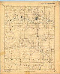
1894 · Emporia
USGS Topo · 1:125,000
1894 · Burlington
USGS Topo · 1:125,000
1947 · Lawrence
USGS Topo · 1:250,000
1950 · Lawrence
USGS Topo · 1:250,000
1955 · Hutchinson
USGS Topo · 1:250,000
1956 · Lawrence
USGS Topo · 1:250,000
1957 · Lang
USGS Topo · 1:24,000
1957 · Emporia
USGS Topo · 1:24,000