
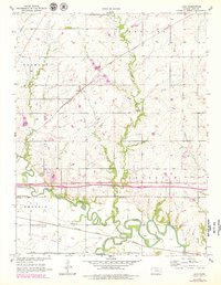
1957 Map of Lang
USGS Topo · Published 1958About this map
The confluence of the Neosho River and the Cottonwood River dominates this mid-century portrait of Lyon County. At the heart of the landscape is Lang, a small rail settlement positioned along the Atchison Topeka and Santa Fe line, which cuts diagonally across the township divisions of Fremont and Reading. The survey captures a rural social structure anchored by local schools such as Quaker Valley Sch and Traylor Sch, alongside several rural burial grounds like Hunter Cem and Union Cem.
Find a feature on this map
20 named features on this map. Tap any name to fly to it.
Don’t see what you’re looking for? This feature index may not catch every label — zoom into the map to look around manually.
Map Details
Editions of this 1957 Lang Map
2 editions found
Other maps of this area

1885 · Eskridge
USGS Topo · 1:125,000

1885 · Burlington
USGS Topo · 1:125,000

1888 · Emporia
USGS Topo · 1:125,000

1889 · Burlingame
USGS Topo · 1:125,000

1889 · Eskridge
USGS Topo · 1:125,000

1894 · Emporia
USGS Topo · 1:125,000

1894 · Eskridge
USGS Topo · 1:125,000

1894 · Burlingame
USGS Topo · 1:125,000

1894 · Burlington
USGS Topo · 1:125,000

1947 · Lawrence
USGS Topo · 1:250,000