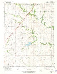
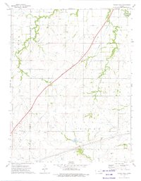
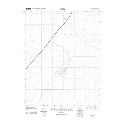
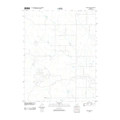
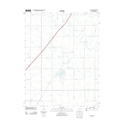
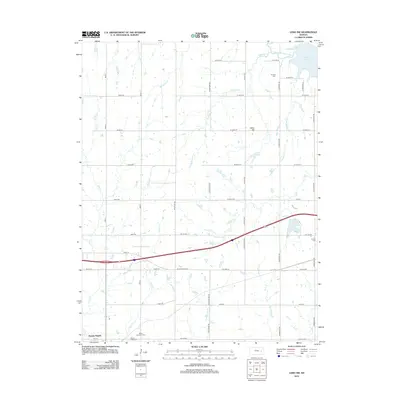
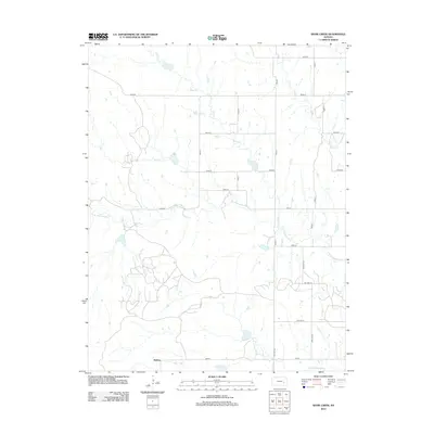
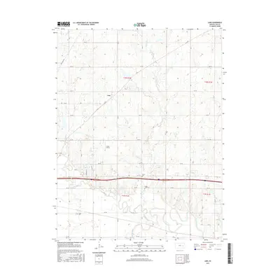
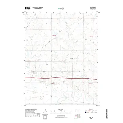
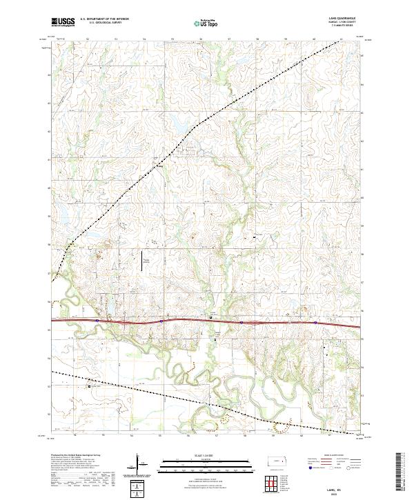
1957 Map of Lang
USGS Topo · Published 1979About this map
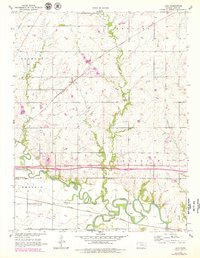
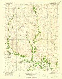
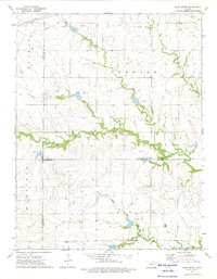
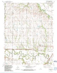
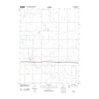
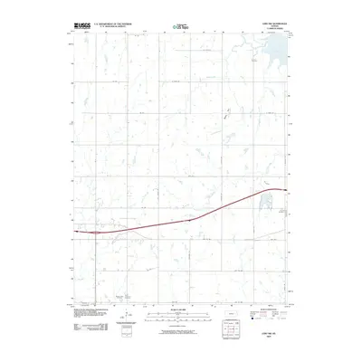
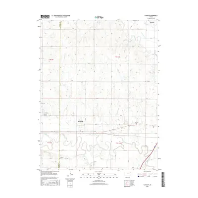
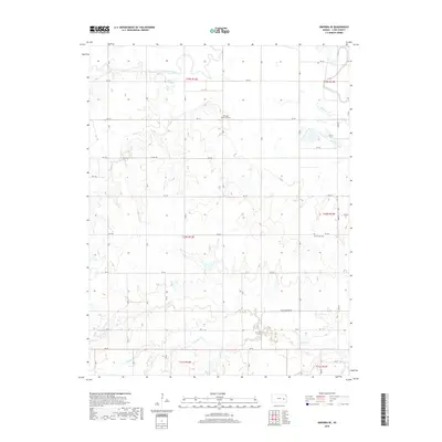
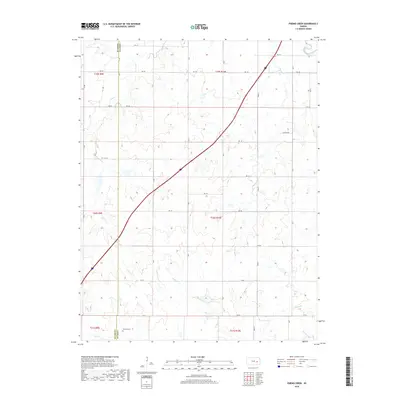
The confluence of the Neosho River and Cottonwood River anchors the southern portion of this landscape, where the meandering waterways cut through the flat valleys of eastern Kansas. During the mid-20th century, this area of Lyon County remained a landscape of dispersed rural infrastructure and local school districts, including Quaker Valley Sch and Traylor Sch. The settlement of Lang serves as a central point along the Atchison Topeka and Santa Fe railroad, which parallels the river systems.
Find a feature on this map
21 named features on this map. Tap any name to fly to it.
Don’t see what you’re looking for? This feature index may not catch every label — zoom into the map to look around manually.
Map Details
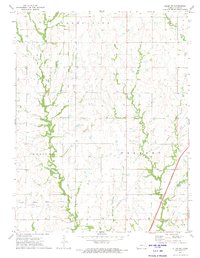
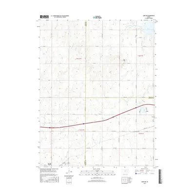
Editions of this 1957 Lang Map
2 editions found
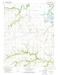
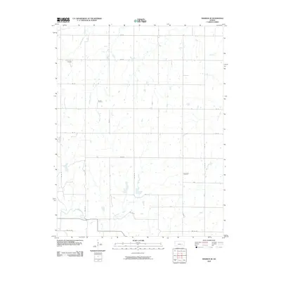
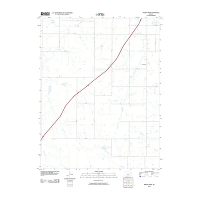
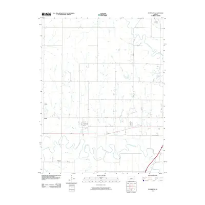
Historical Maps of Lang Through Time
55 maps found
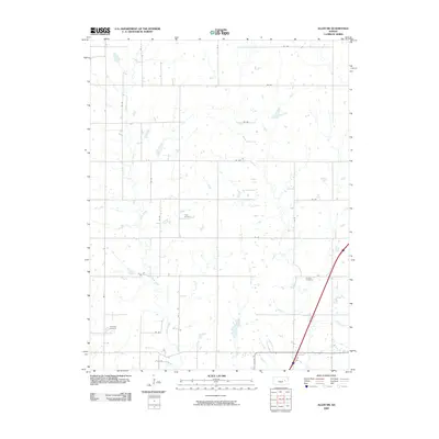
1957 Lang
Lyon County, KS
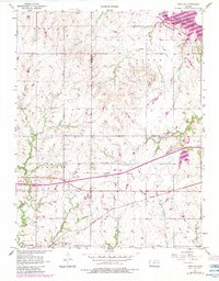
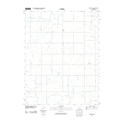
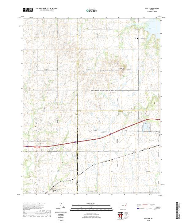
1957 Lebo NW
Lyon County, KS
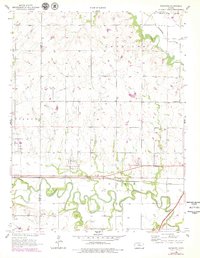
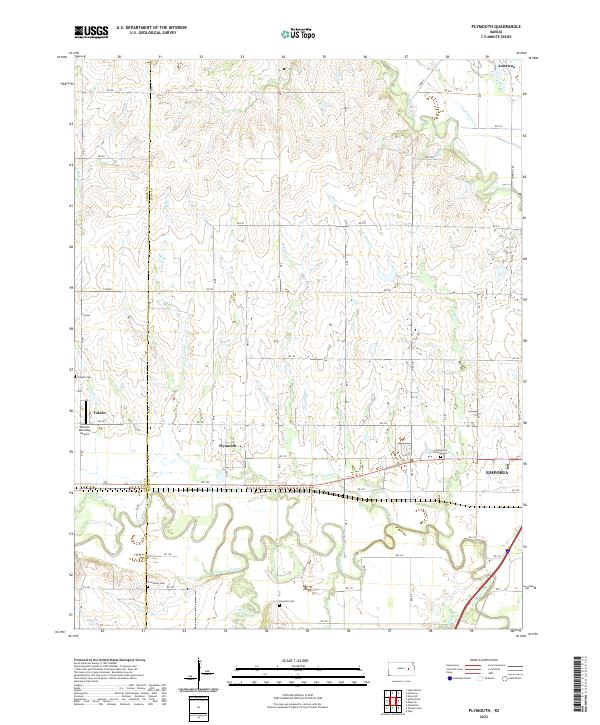
1957 Plymouth
Lyon County, KS
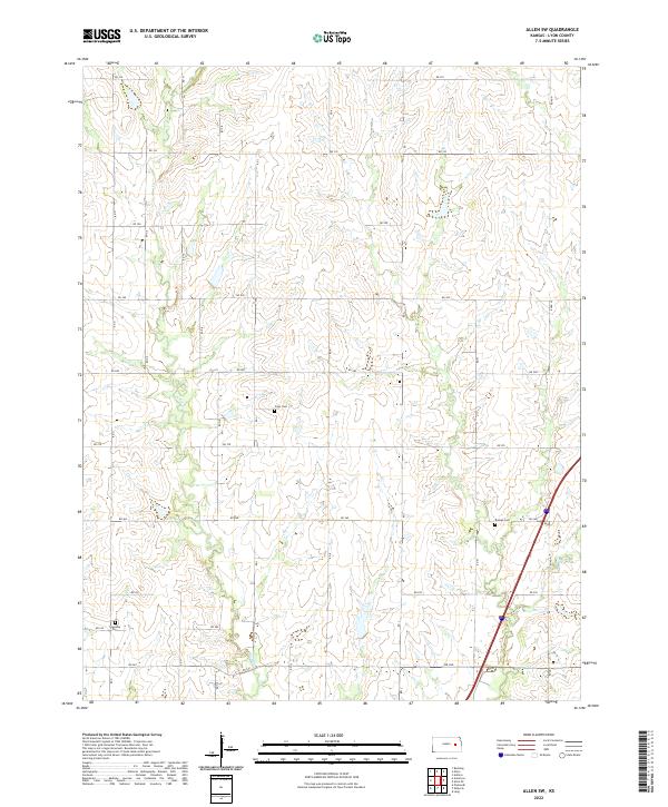
1972 Allen SE
Lyon County, KS
1972 Allen SW
Lyon County, KS
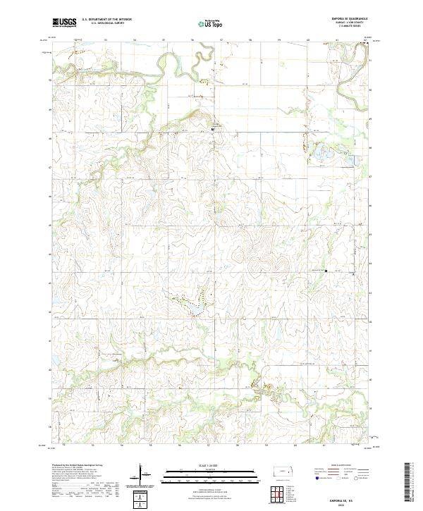
1973 Emporia SE
Lyon County, KS
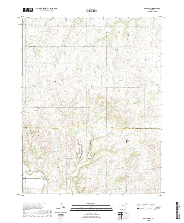
1973 Madison NE
Lyon County, KS
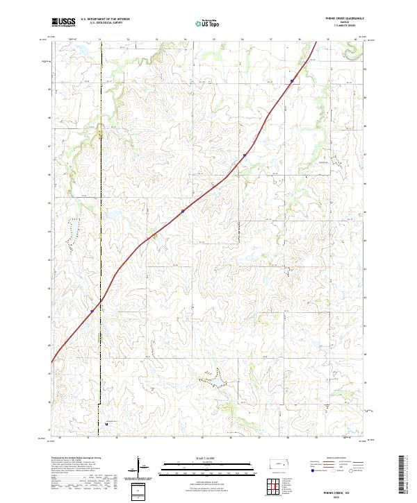
1973 Phenis Creek
Lyon County, KS
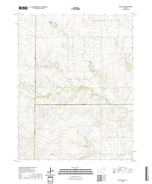
1973 Shaw Creek
Lyon County, KS
1989 Plymouth
Lyon County, KS
2009 Allen SE
Lyon County, KS
2009 Allen SW
Lyon County, KS
2009 Emporia SE
Lyon County, KS
2009 Lang
Lyon County, KS
2009 Lebo NW
Lyon County, KS
2009 Shaw Creek
Lyon County, KS
2010 Madison NE
Lyon County, KS
2010 Phenis Creek
Lyon County, KS
2010 Plymouth
Lyon County, KS
2012 Allen SE
Lyon County, KS
2012 Allen SW
Lyon County, KS
2012 Emporia SE
Lyon County, KS
2012 Lang
Lyon County, KS
2012 Lebo NW
Lyon County, KS
2012 Madison NE
Lyon County, KS
2012 Phenis Creek
Lyon County, KS
2012 Plymouth
Lyon County, KS
2012 Shaw Creek
Lyon County, KS
2015 Allen SE
Lyon County, KS
2015 Allen SW
Lyon County, KS
2015 Emporia SE
Lyon County, KS
2015 Lang
Lyon County, KS
2015 Lebo NW
Lyon County, KS
2015 Madison NE
Lyon County, KS
2015 Phenis Creek
Lyon County, KS
2015 Plymouth
Lyon County, KS
2015 Shaw Creek
Lyon County, KS
2018 Allen SE
Lyon County, KS
2018 Allen SW
Lyon County, KS
2018 Emporia SE
Lyon County, KS
2018 Lang
Lyon County, KS
2018 Lebo NW
Lyon County, KS
2018 Madison NE
Lyon County, KS
2018 Phenis Creek
Lyon County, KS
2018 Plymouth
Lyon County, KS
2018 Shaw Creek
Lyon County, KS
2022 Allen SE
Lyon County, KS
2022 Allen SW
Lyon County, KS
2022 Emporia SE
Lyon County, KS
2022 Lang
Lyon County, KS
2022 Lebo NW
Lyon County, KS
2022 Madison NE
Lyon County, KS
2022 Phenis Creek
Lyon County, KS
2022 Plymouth
Lyon County, KS
2022 Shaw Creek
Lyon County, KS