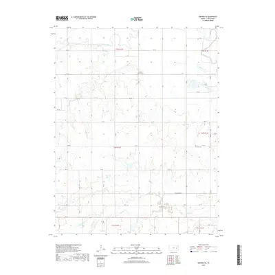
2018 Map of Emporia SE
USGS Topo · Published 2018About this map
The Cottonwood River and Neosho River converge in the northern portion of this quadrangle, defining the hydrological character of the Lyon County landscape. This 2018 survey reveals a rural territory structured by a precise grid of sectional roads, such as RD 140 and Olpe-Hartford Rd, which navigate the drainages of Coal Cr, Eagle Cr, and S Eagle Cr. The map's geographic data points toward a long-standing agricultural and community presence, indicated by legacy landmarks like the Chicago Mound Cem and Mennonite Cem. These features, along with names like Hoosier Cr and Harper Cr, provide a spatial record of the local genealogy and the persistent patterns of land use in this part of Kansas.
Find a feature on this map
30 named features on this map. Tap any name to fly to it.
Don’t see what you’re looking for? This feature index may not catch every label — zoom into the map to look around manually.
Map Details
Editions of this 2018 Emporia SE Map
This is the sole edition of this map. No revisions or reprints were ever made.
Other maps of this area
1885 · Burlington
USGS Topo · 1:125,000
1888 · Emporia
USGS Topo · 1:125,000
1894 · Emporia
USGS Topo · 1:125,000
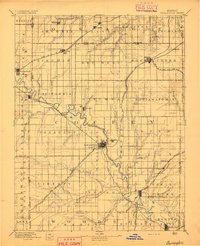
1894 · Burlington
USGS Topo · 1:125,000
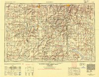
1947 · Lawrence
USGS Topo · 1:250,000
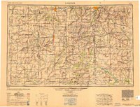
1950 · Lawrence
USGS Topo · 1:250,000
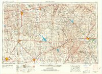
1955 · Hutchinson
USGS Topo · 1:250,000
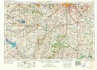
1956 · Lawrence
USGS Topo · 1:250,000
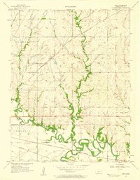
1957 · Lang
USGS Topo · 1:24,000
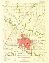
1957 · Emporia
USGS Topo · 1:24,000