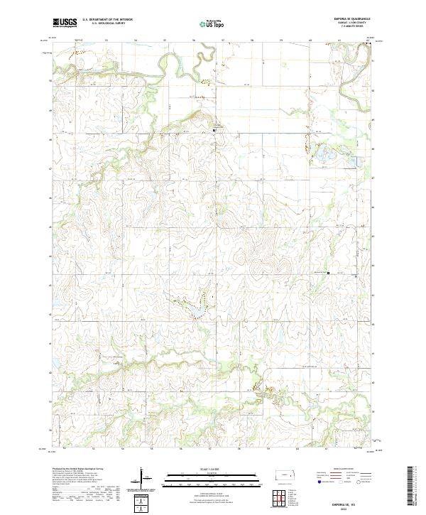
2022 Map of Emporia SE
USGS Topo · Published 2022About this map
The Cottonwood River and Neosho River converge in the northeast corner of this Lyon County landscape, creating a complex network of riparian corridors and fertile bottomlands. This area is defined by its water-rich geography, where the main stems are joined by numerous tributaries including Coal Cr, Eagle Cr, and its southern branch, S Eagle Cr. The map reveals a rural structure organized by a grid of section roads, notably the Olpe-Hartford Rd and RD 140.
Find a feature on this map
44 named features on this map. Tap any name to fly to it.
Don’t see what you’re looking for? This feature index may not catch every label — zoom into the map to look around manually.
Map Details
Editions of this 2022 Emporia SE Map
This is the sole edition of this map. No revisions or reprints were ever made.
Other maps of this area

1885 · Burlington
USGS Topo · 1:125,000

1888 · Emporia
USGS Topo · 1:125,000

1894 · Emporia
USGS Topo · 1:125,000

1894 · Burlington
USGS Topo · 1:125,000

1947 · Lawrence
USGS Topo · 1:250,000

1950 · Lawrence
USGS Topo · 1:250,000

1955 · Hutchinson
USGS Topo · 1:250,000

1956 · Lawrence
USGS Topo · 1:250,000

1957 · Lang
USGS Topo · 1:24,000

1957 · Emporia
USGS Topo · 1:24,000