2023 Map of Emporium
USGS Topo · Published 2023About this map
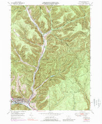
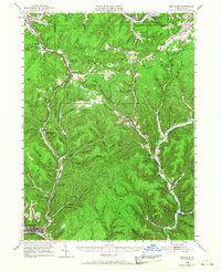
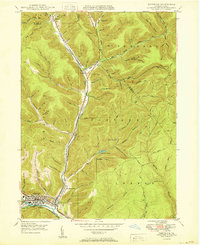
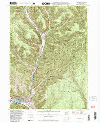
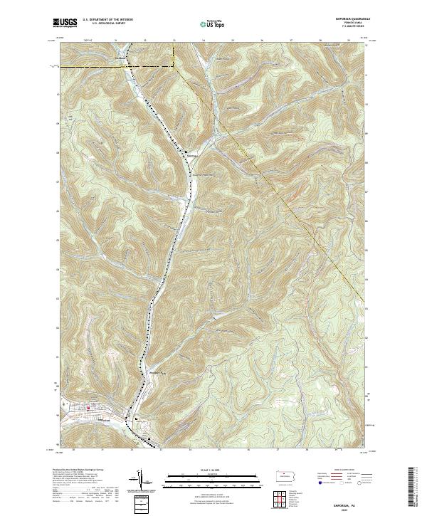
Emporium serves as the focal point of this Cameron County landscape, where the confluence of several mountain runs meets the broader valley of Sinnemahoning Portage Creek. The town's grid is well-defined, anchored by the Cameron County Courthouse and extending into residential areas like Prospect Park. Outside the village center, the geography is defined by a dense network of hollows—such as Lucore Hollow and Pigeon Hollow—that carve through the high plateaus. These drainages converge toward the main valley, which carries the primary transportation corridor of Sizerville Rd northward. Local history is preserved in several burial grounds scattered across the terrain, including the Newton Cem, Saint Marks Cem, and the Portage Township Cem near the settlement of Sizerville. Further north, Lake Bucktail and multiple water works like the Upper Reservoir reflect the region's managed water resources.
Find a feature on this map
114 named features on this map. Tap any name to fly to it.
Don’t see what you’re looking for? This feature index may not catch every label — zoom into the map to look around manually.
Map Details
Editions of this 2023 Emporium Map
This is the sole edition of this map. No revisions or reprints were ever made.
Historical Maps of Prospect Park Through Time
5 maps found