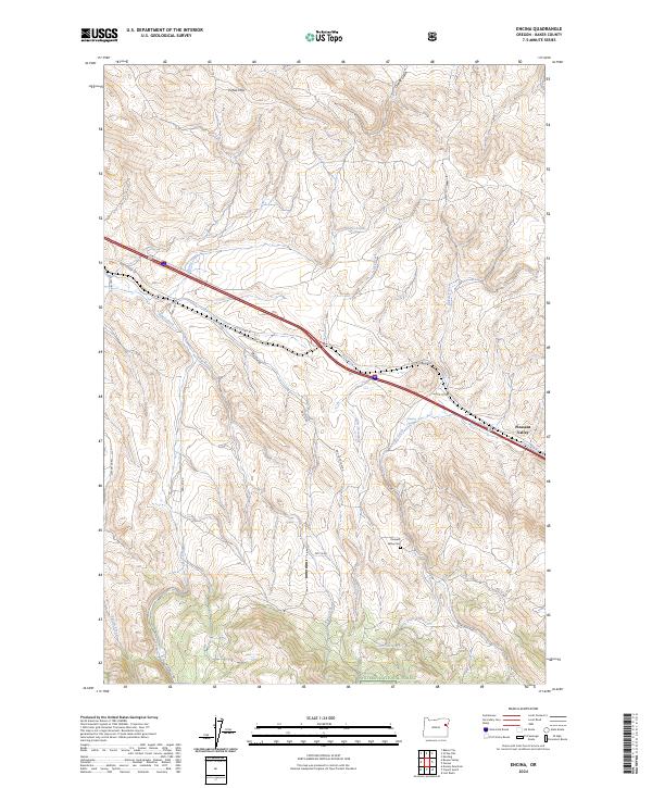
2024 Map of Encina
USGS Topo · Published 2024About this map
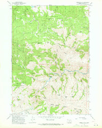
Pleasant Valley sits at the heart of this landscape, where the high-desert terrain of the Virtue Hills meets the northern reaches of the Whitman National Forest. The map illustrates a classic Eastern Oregon transit corridor, dominated by the path of Old US Hwy 30 as it winds through drainages like Dry Creek and Quartz Creek. This route, historic even by the time of modern mapping, follows the natural contours of the land, flanked by numerous family-named gulches and springs. Local history and genealogy are anchored at the Pleasant Valley Cem, located south of the main settlement area near Dogtown Creek. The drainage patterns, including Ebell Creek and Lodge Creek, suggest a landscape shaped by seasonal water flow and ranching utility, with Johnston Spring and Alder Creek Spring providing critical water points in an otherwise arid environment.
Find a feature on this map
33 named features on this map. Tap any name to fly to it.
Don’t see what you’re looking for? This feature index may not catch every label — zoom into the map to look around manually.
Map Details
Editions of this 2024 Encina Map
This is the sole edition of this map. No revisions or reprints were ever made.
Other maps of this area

1901 · Baker City
USGS Topo · 1:125,000

1955 · Baker
USGS Topo · 1:250,000

1959 · Baker
USGS Topo · 1:250,000

1967 · Virtue Flat
USGS Topo · 1:24,000
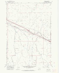
1967 · Encina
USGS Topo · 1:24,000
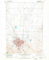
1967 · Baker
USGS Topo · 1:24,000
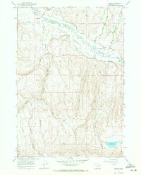
1967 · Keating
USGS Topo · 1:24,000
1967 · French Gulch
USGS Topo · 1:24,000

1967 · Dooley Mtn
USGS Topo · 1:24,000
1967 · Lost Basin
USGS Topo · 1:24,000