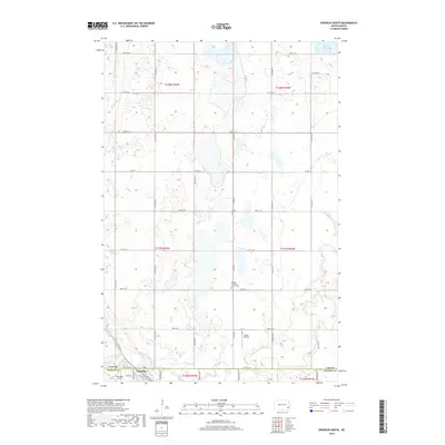
2018 Map of Enderlin North
USGS Topo · Published 2018About this map
The Maple River meanders through the prairie landscape of Ransom and Cass Counties, defining the drainage patterns of this agricultural region. Near the southern boundary, the town of Enderlin sits at the intersection of local rail lines and the river's path, serving as a vital hub for the surrounding township sections. This area is dotted with small wetlands and seasonal basins typical of the Red River Valley’s western edge, including Lake Bertha in the northeast. Genealogists and local historians will find several key landmarks preserved on the map, such as the Pontiac Lutheran Trinity Cem and the Salem Cem, which offer physical links to the early settler families of the area. Aviation interests are represented by the presence of Geske Airfield and Sky Haven Airport, indicating the continued importance of regional flight in this rural North Dakota community.
Find a feature on this map
27 named features on this map. Tap any name to fly to it.
Don’t see what you’re looking for? This feature index may not catch every label — zoom into the map to look around manually.
Map Details
Editions of this 2018 Enderlin North Map
This is the sole edition of this map. No revisions or reprints were ever made.
Other maps of this area

1895 · Casselton
USGS Topo · 1:125,000

1897 · Tower
USGS Topo · 1:125,000

1897 · Casselton
USGS Topo · 1:125,000

1953 · Fargo
USGS Topo · 1:250,000

1956 · Fargo
USGS Topo · 1:250,000

1960 · Enderlin South
USGS Topo · 1:24,000
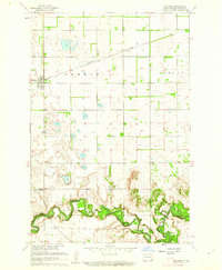
1960 · Sheldon
USGS Topo · 1:24,000

1961 · Sheldon NW
USGS Topo · 1:24,000

1961 · Enderlin North
USGS Topo · 1:24,000

1965 · Alice
USGS Topo · 1:24,000