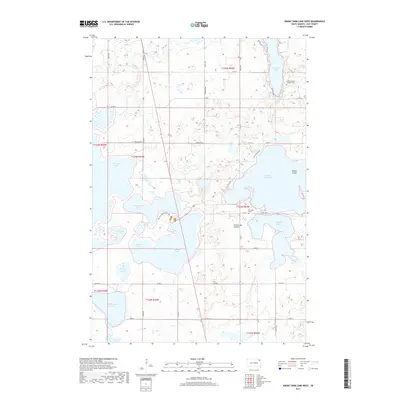
2017 Map of Enemy Swim Lake West
USGS Topo · Published 2017About this map
Enemy Swim Lake and the surrounding glacial waters dominate this landscape on the Coteau des Prairies plateau. The map details a complex hydrologic network of large lakes and smaller basins like Phragmites Pond and Dahling Slough, reflecting the unique terminal moraine topography of Day County. Local heritage is marked by several significant landmarks, including the Saint Joseph's Catholic Cem near the northern shore of Pickerel Lake and the Blue Dog Grave located south of the main lake body. Recreational and conservation elements are evident in the Bur Oak Boulevard Trail and the various arms of the water bodies, such as Wingate Arm and Swan Pond. This 2017 survey reveals how modern section roads like 442nd Ave and Co Rd 7 navigate around the numerous sloughs and lakes that define the eastern South Dakota plains.
Find a feature on this map
46 named features on this map. Tap any name to fly to it.
Don’t see what you’re looking for? This feature index may not catch every label — zoom into the map to look around manually.
Map Details
Editions of this 2017 Enemy Swim Lake West Map
This is the sole edition of this map. No revisions or reprints were ever made.
Other maps of this area
1953 · Milbank
USGS Topo · 1:250,000
1958 · Milbank
USGS Topo · 1:250,000
1970 · Eden
USGS Topo · 1:24,000
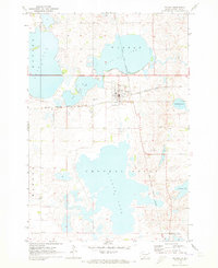
1970 · Waubay
USGS Topo · 1:24,000
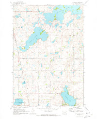
1970 · Piyas Lake
USGS Topo · 1:24,000
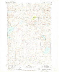
1970 · Enemy Swim Lake East
USGS Topo · 1:24,000
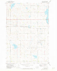
1970 · Waubay SW
USGS Topo · 1:24,000
1970 · Roslyn
USGS Topo · 1:24,000
1970 · Ortley
USGS Topo · 1:24,000
1970 · Drywood Lakes
USGS Topo · 1:24,000