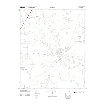
2010 Map of Enfield
USGS Topo · Published 2010About this map
Enfield serves as the primary municipal hub in this portion of Halifax County, situated amidst a landscape defined by an extensive network of wetlands and agricultural tracts. The terrain is notably marked by numerous named lowlands, including Jacket Swamp, Burnt Coat Swamp, and Beaverdam Swamp, which dictate the local drainage patterns into Fishing Creek. These natural features have historically influenced the placement of rural settlements and transport routes, such as Wards Crossroads and the community of Bricks. For genealogists, the map is a significant record of local family history, preserving the locations of numerous burial sites like Elmwood Cemetery, Pittman Cemetery, and the Old Bricks Cemetery. The presence of the Fishing Creek Millpond Dam and Bellamys Bridge further illustrates the intersection of local water resources and the area's development. This survey provides a clear view of the rural-industrial interface in North Carolina at the opening of the 21st century.
Find a feature on this map
48 named features on this map. Tap any name to fly to it.
Don’t see what you’re looking for? This feature index may not catch every label — zoom into the map to look around manually.
Map Details
Editions of this 2010 Enfield Map
This is the sole edition of this map. No revisions or reprints were ever made.
Other maps of this area

1953 · Norfolk
USGS Topo · 1:250,000

1960 · Dawson Crossroads
USGS Topo · 1:24,000

1960 · Draughn
USGS Topo · 1:24,000

1961 · Whitakers
USGS Topo · 1:24,000

1961 · Enfield
USGS Topo · 1:24,000

1963 · Ringwood
USGS Topo · 1:24,000

1963 · Drake
USGS Topo · 1:24,000

1973 · Aurelian Springs
USGS Topo · 1:24,000

1974 · Halifax
USGS Topo · 1:24,000

1974 · Darlington
USGS Topo · 1:24,000