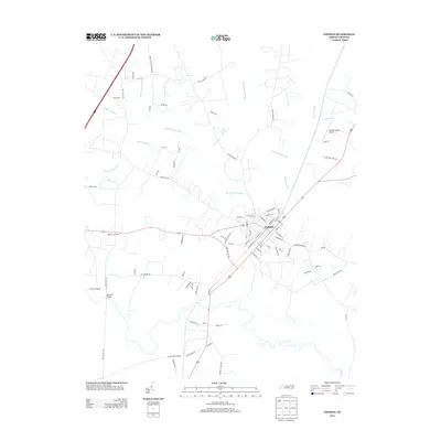
2013 Map of Enfield
USGS Topo · Published 2013About this map
The town of Enfield serves as the focal point of this Halifax County landscape, where the intersection of major roads and rail lines defines the local geography. The town grid is bounded by a network of waterways and wetlands, including Burnt Coat Swamp to the north and the winding course of Fishing Cr to the south. The area’s agrarian character is evident in the numerous farm roads, such as James W Williams Farm Rd and Neville Farm Rd, which connect outlying settlements like Bricks and Wards Crossroads to the municipal center.
Find a feature on this map
83 named features on this map. Tap any name to fly to it.
Don’t see what you’re looking for? This feature index may not catch every label — zoom into the map to look around manually.
Map Details
Editions of this 2013 Enfield Map
This is the sole edition of this map. No revisions or reprints were ever made.
Other maps of this area

1953 · Norfolk
USGS Topo · 1:250,000

1960 · Dawson Crossroads
USGS Topo · 1:24,000

1960 · Draughn
USGS Topo · 1:24,000

1961 · Whitakers
USGS Topo · 1:24,000

1961 · Enfield
USGS Topo · 1:24,000

1963 · Ringwood
USGS Topo · 1:24,000

1963 · Drake
USGS Topo · 1:24,000

1973 · Aurelian Springs
USGS Topo · 1:24,000

1974 · Halifax
USGS Topo · 1:24,000

1974 · Darlington
USGS Topo · 1:24,000