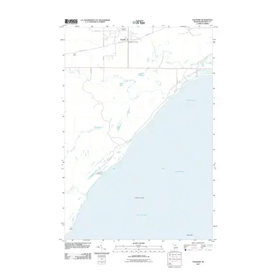
2011 Map of Engadine
USGS Topo · Published 2011About this map
Engadine serves as the focal point of this Upper Peninsula landscape, situated along the northern edge where local life centers on the Engadine Post Office and the nearby Engadine Cemetery. The geography is defined by its transition from the settled town site to the expansive waters of Lake Michigan, where hazards like Cranberry Shoal and Potter Reef lie just offshore. To the west, the Rock River and Crow River drain the marshy interiors of Newton Township, winding past small water bodies like Mud Lake and Knob Lake. Transport and recreation are interwoven through the presence of the Swift Siding railroad point and the Big Knob Campground, which provides access to the shoreline near Fox Point. This map illustrates a balance between a small Michigan community and the vast, unpopulated coastal reaches of the Great Lakes.
Find a feature on this map
25 named features on this map. Tap any name to fly to it.
Don’t see what you’re looking for? This feature index may not catch every label — zoom into the map to look around manually.
Map Details
Editions of this 2011 Engadine Map
This is the sole edition of this map. No revisions or reprints were ever made.
Other maps of this area

1931 · Gould City NE
USGS Topo · 1:31,680

1931 · Gould City NW
USGS Topo · 1:31,680

1931 · Gould City SE
USGS Topo · 1:31,680

1931 · Gilchrist NW
USGS Topo · 1:31,680

1954 · Sault Sainte Marie
USGS Topo · 1:250,000

1955 · Hog Island
USGS Topo · 1:62,500

1955 · Cheboygan
USGS Topo · 1:250,000

1956 · Sault Sainte Marie
USGS Topo · 1:250,000

1957 · Sault Sainte Marie
USGS Topo · 1:250,000

1958 · Cheboygan
USGS Topo · 1:250,000