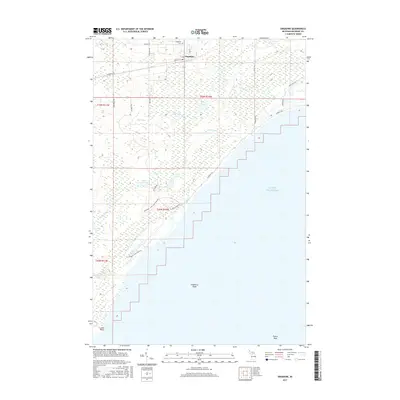
2017 Map of Engadine
USGS Topo · Published 2017About this map
Engadine serves as the primary hub for this stretch of the Upper Peninsula, situated near the northern edge of the quadrangle. The settlement’s local history is anchored by the Engadine Cem and a grid of local streets including Melville St and Pleasant Ave. Moving south, the landscape transitions into a network of wetlands and waterways, where the Rock River and McNeil Cr drain toward the expansive shoreline of Lake Michigan.
Find a feature on this map
35 named features on this map. Tap any name to fly to it.
Don’t see what you’re looking for? This feature index may not catch every label — zoom into the map to look around manually.
Map Details
Editions of this 2017 Engadine Map
This is the sole edition of this map. No revisions or reprints were ever made.
Other maps of this area

1931 · Gould City NE
USGS Topo · 1:31,680

1931 · Gould City NW
USGS Topo · 1:31,680

1931 · Gould City SE
USGS Topo · 1:31,680

1931 · Gilchrist NW
USGS Topo · 1:31,680

1954 · Sault Sainte Marie
USGS Topo · 1:250,000

1955 · Hog Island
USGS Topo · 1:62,500

1955 · Cheboygan
USGS Topo · 1:250,000

1956 · Sault Sainte Marie
USGS Topo · 1:250,000

1957 · Sault Sainte Marie
USGS Topo · 1:250,000

1958 · Cheboygan
USGS Topo · 1:250,000