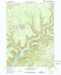
1965 Map of English Center
USGS Topo · Published 1986About this map
English Center sits at the confluence of several mountain drainages in this mid-1960s survey of Lycoming County. The landscape is defined by the sharp relief of Little Pine Creek and its many tributaries, such as Bear Run and Texas Creek. Human activity is concentrated in small pockets like Carsontown and Brookside, but much of the terrain is dedicated to the Tiadaghton State Forest and State Game Lands No 75. A notable feature of the area's geography is the presence of extensive strip mines atop the ridges, particularly near Oxbow and Chestnut Ridge, indicating a history of resource extraction. Local history is anchored by sites such as the Carsontown Cem and Dowling Hill Cem, which reflect the long-standing communities that once thrived in these narrow valleys before mid-century forest management and conservation efforts transformed the region.
Find a feature on this map
66 named features on this map. Tap any name to fly to it.
Don’t see what you’re looking for? This feature index may not catch every label — zoom into the map to look around manually.
Map Details
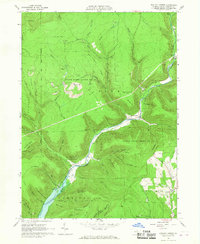
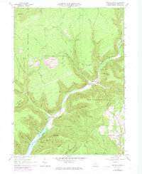
Editions of this 1965 English Center Map
3 editions found
Other maps of this area

1921 · Trout Run
USGS Topo · 1:62,500

1923 · Trout Run
USGS Topo · 1:62,500

1925 · Blossburg
USGS Topo · 1:62,500

1927 · Blossburg
USGS Topo · 1:62,500

1935 · Waterville
USGS Topo · 1:24,000

1937 · Waterville
USGS Topo · 1:48,000

1943 · Waterville
USGS Topo · 1:62,500

1944 · Blossburg
USGS Topo · 1:62,500

1944 · Trout Run
USGS Topo · 1:62,500

1946 · Antrim
USGS Topo · 1:62,500
Featured Places
- Brookside, Cogan House Township
- Cogan House Township, PA
- Carsontown, Pine Township
- Brown Township, PA
- Pine Township, PA