Loading...
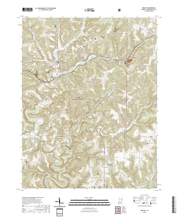
Loading map...2022 Map of English
USGS Topo · Published 2022About this map
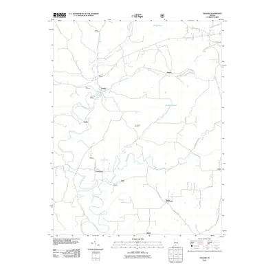
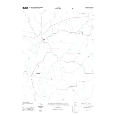
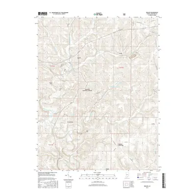
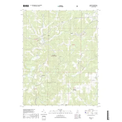
English stands as a central point in this part of Crawford County, where the Crawford County Courthouse is located near the confluence of Camp Fork Cr and Bird Hollow Cr. The landscape is defined by the wooded ridges of the Hoosier National Forest and the winding course of the Little Blue River. Significant water management is evident through the presence of the English Reservoir and Grant Lake, which dominate the central terrain.
Find a feature on this map
68 named features on this map. Tap any name to fly to it.
Don’t see what you’re looking for? This feature index may not catch every label — zoom into the map to look around manually.
Map Details
Date Portrayed2022
Date Published2022
PublisherU.S. Geological Survey
Map TypeTopographic
Scale1:24,000
Physical Dimensions24 x 29 inches
Editions of this 2022 English Map
This is the sole edition of this map. No revisions or reprints were ever made.
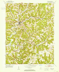
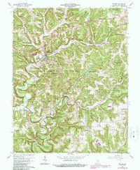
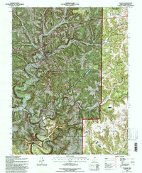
Historical Maps of English Through Time
8 maps found
Featured Locations
Source Details
SourceU.S. Geological Survey
CopyrightPublic Domain