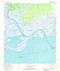
1968 Map of English Lookout
USGS Topo · Published 1970About this map
Pearlington and Ansley anchor this coastal survey where the Pearl River fragments into a complex delta of bayous and passes before meeting Lake Borgne. The landscape is defined by its transition from land to water, featuring large land grants such as the John B Doby Claim and Nancy Collins Claim that hint at early regional property lines. The transportation history of the marsh is visible in the route of the Louisville and Nashville and an Old Railroad Grade that cuts across the wetlands near Long Point.
Find a feature on this map
54 named features on this map. Tap any name to fly to it.
Don’t see what you’re looking for? This feature index may not catch every label — zoom into the map to look around manually.
Map Details
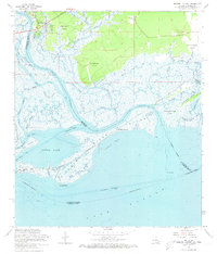
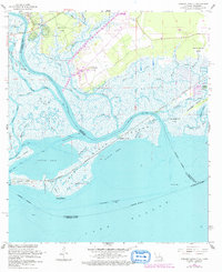
Editions of this 1968 English Lookout Map
3 editions found
Other maps of this area

1893 · Rigolets
USGS Topo · 1:62,500

1893 · Toulme
USGS Topo · 1:62,500

1914 · Nicholson
USGS Topo · 1:62,500

1921 · Nicholson
USGS Topo · 1:62,500

1935 · English Lookout
USGS Topo · 1:31,680

1935 · Grand Island Pass
USGS Topo · 1:31,680

1936 · Rigolets
USGS Topo · 1:62,500

1946 · Malheureux Point
USGS Topo · 1:31,680
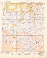
1946 · Rigolets
USGS Topo · 1:31,680

1949 · Grand Island Pass
USGS Topo · 1:31,680