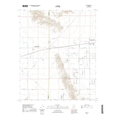
2018 Map of Enid
USGS Topo · Published 2018About this map
Sierra Estrella and the Palo Verde Mountains dominate this landscape south of Goodyear, where the high desert meets developing residential corridors. The map documents the rural-suburban interface along the Maricopa-Pinal county line, highlighting small airstrips like Boulais Ranch Airport and Hidden Valley Airport that serve the area's sprawling ranch estates.
Find a feature on this map
65 named features on this map. Tap any name to fly to it.
Don’t see what you’re looking for? This feature index may not catch every label — zoom into the map to look around manually.
Map Details
Editions of this 2018 Enid Map
This is the sole edition of this map. No revisions or reprints were ever made.
Other maps of this area
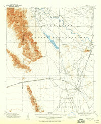
1913 · Maricopa
USGS Topo · 1:62,500
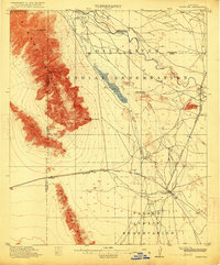
1915 · Maricopa
USGS Topo · 1:62,500
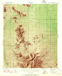
1946 · Antelope Peak
USGS Topo · 1:62,500
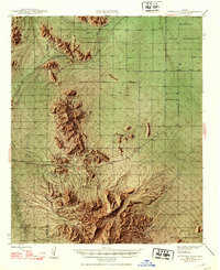
1948 · Antelope Peak
USGS Topo · 1:62,500
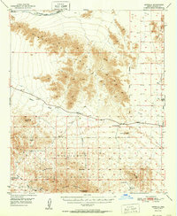
1951 · Estrella
USGS Topo · 1:62,500
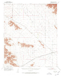
1951 · Mobile
USGS Topo · 1:62,500
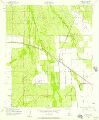
1952 · Maricopa
USGS Topo · 1:24,000
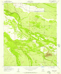
1952 · Pima Butte
USGS Topo · 1:24,000
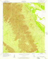
1952 · Montezuma Peak
USGS Topo · 1:24,000
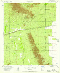
1952 · Enid
USGS Topo · 1:24,000