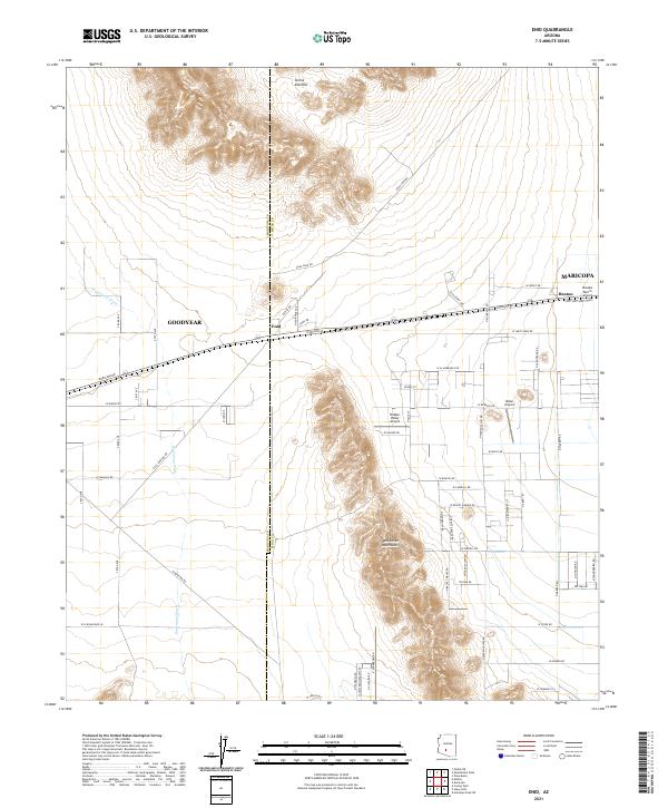
2021 Map of Enid
USGS Topo · Published 2021About this map
Sierra Estrella and the Palo Verde Mountains dominate the central topography of this Pinal County landscape, which transitions between mountain slopes and the alluvial plains of Waterman Wash. The settlement pattern centers on the historic rail corridor where Enid, Heaton, and parts of Goodyear are established. A network of ranch and residential roads, such as W Smith Enke Rd and Maricopa Rd, reveal the modern expansion into the desert. Aviation plays a notable role in the local infrastructure, evidenced by private facilities like Hidden Valley Airport, Millar Airport, and Boulais Ranch Airport. These features, alongside industrial markers like the S Gas Pipeline Rd, illustrate a landscape balancing its arid natural environment with regional growth and transportation needs.
Find a feature on this map
41 named features on this map. Tap any name to fly to it.
Don’t see what you’re looking for? This feature index may not catch every label — zoom into the map to look around manually.
Map Details
Editions of this 2021 Enid Map
This is the sole edition of this map. No revisions or reprints were ever made.
Other maps of this area

1913 · Maricopa
USGS Topo · 1:62,500

1915 · Maricopa
USGS Topo · 1:62,500

1946 · Antelope Peak
USGS Topo · 1:62,500

1948 · Antelope Peak
USGS Topo · 1:62,500

1951 · Estrella
USGS Topo · 1:62,500

1951 · Mobile
USGS Topo · 1:62,500

1952 · Maricopa
USGS Topo · 1:24,000
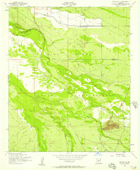
1952 · Pima Butte
USGS Topo · 1:24,000

1952 · Montezuma Peak
USGS Topo · 1:24,000

1952 · Enid
USGS Topo · 1:24,000