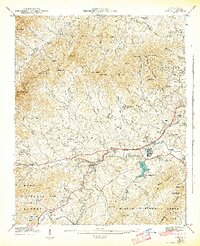
1942 Map of Enka
USGS Topo · Published 1942About this map
The Southern railroad corridor and Hominy Creek define the central valley of this 1941 field examination, where industrial and agricultural life meet. The presence of the Pisgah Industrial Institute and the sprawling residential layout of Enka Village near Enka Lake reflect the mid-century manufacturing character of the region. To the north, the terrain climbs toward Bert Mtn and Deaver View Mountain, while the southern reaches are dominated by the Pisgah National Forest and Stradley Mountain.
Find a feature on this map
107 named features on this map. Tap any name to fly to it.
Don’t see what you’re looking for? This feature index may not catch every label — zoom into the map to look around manually.
Map Details
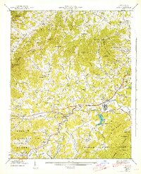
Editions of this 1942 Enka Map
2 editions found
Other maps of this area

1894 · Asheville
USGS Topo · 1:125,000

1901 · Asheville
USGS Topo · 1:125,000

1905 · Pisgah
USGS Topo · 1:125,000

1906 · Pisgah
USGS Topo · 1:125,000

1935 · Cruso
USGS Topo · 1:24,000

1935 · Canton
USGS Topo · 1:24,000

1936 · Sandymush
USGS Topo · 1:24,000

1936 · Enka
USGS Topo · 1:24,000

1936 · Weaverville
USGS Topo · 1:24,000

1936 · Skyland
USGS Topo · 1:24,000