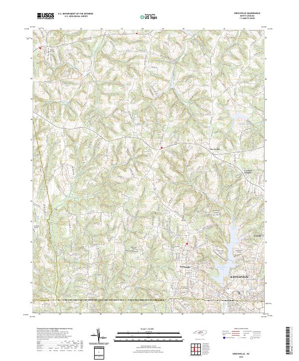
2022 Map of Enochville
USGS Topo · Published 2022About this map
Enochville sits at the heart of this landscape where the borders of Rowan, Cabarrus, and Iredell Counties converge. The area is defined by a distinct cluster of local aviation facilities, including Miller Air Park, Johnston Airport, and smaller landing strips like Ervin Airfield and Broadway Airfield. These sites are interspersed among a network of rural roads such as Mooresville Rd and Corriher Springs Rd, reflecting a community structure that balances small-town centers with open-air utility.
Find a feature on this map
199 named features on this map. Tap any name to fly to it.
Don’t see what you’re looking for? This feature index may not catch every label — zoom into the map to look around manually.
Map Details
Editions of this 2022 Enochville Map
This is the sole edition of this map. No revisions or reprints were ever made.
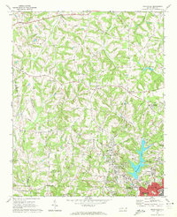
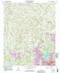
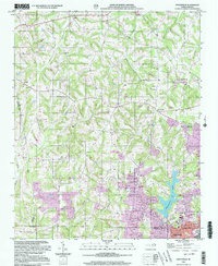
Historical Maps of Kannapolis Through Time
4 maps found