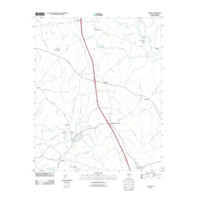
2011 Map of Enoree
USGS Topo · Published 2011About this map
Enoree River and the Tyger River define the hydraulic character of this South Carolina landscape, carving deep bends and branches through Spartanburg and Laurens counties. The settlement of Enoree serves as a focal point near the river's edge, supported by infrastructure like the Enoree Bridge and Ligons Bridge. Further north, the terrain is marked by Horseshoe Bend and several significant water management structures, including the T B Pierce Pond Dam and the W H Tiller Junior Pond Dam.
Find a feature on this map
85 named features on this map. Tap any name to fly to it.
Don’t see what you’re looking for? This feature index may not catch every label — zoom into the map to look around manually.
Map Details
Editions of this 2011 Enoree Map
This is the sole edition of this map. No revisions or reprints were ever made.
Other maps of this area

1935 · Greer
USGS Topo · 1:48,000

1938 · Greer
USGS Topo · 1:62,500

1941 · Spartanburg
USGS Topo · 1:250,000

1947 · Spartanburg
USGS Topo · 1:62,500

1949 · Spartanburg
USGS Topo · 1:62,500

1953 · Spartanburg
USGS Topo · 1:250,000

1954 · Greenville
USGS Topo · 1:250,000

1957 · Fountain Inn
USGS Topo · 1:62,500

1957 · Greer
USGS Topo · 1:62,500

1958 · Greenville
USGS Topo · 1:250,000