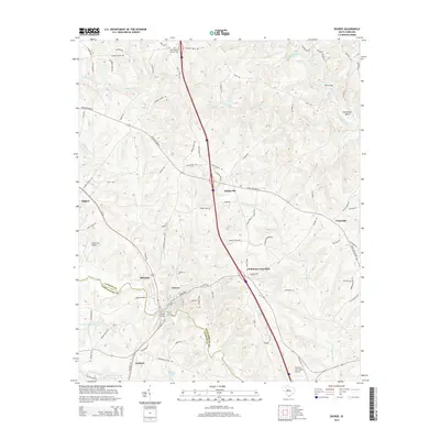
2014 Map of Enoree
USGS Topo · Published 2014About this map
The Enoree River and Tyger River carve through the borderlands of Spartanburg and Laurens counties, defining a landscape of small Piedmont communities and crossroads. The settlement of Enoree sits as a primary hub near the river banks, connected to neighboring Hillsville and Lanford by a network of rural routes like Cross Anchor Rd. Local history is anchored by sites such as Unity Baptist Church Cem and prominent river crossings including Ligons Bridge and Enoree Bridge.
Find a feature on this map
92 named features on this map. Tap any name to fly to it.
Don’t see what you’re looking for? This feature index may not catch every label — zoom into the map to look around manually.
Map Details
Editions of this 2014 Enoree Map
This is the sole edition of this map. No revisions or reprints were ever made.
Other maps of this area

1935 · Greer
USGS Topo · 1:48,000

1938 · Greer
USGS Topo · 1:62,500

1941 · Spartanburg
USGS Topo · 1:250,000

1947 · Spartanburg
USGS Topo · 1:62,500

1949 · Spartanburg
USGS Topo · 1:62,500

1953 · Spartanburg
USGS Topo · 1:250,000

1954 · Greenville
USGS Topo · 1:250,000

1957 · Fountain Inn
USGS Topo · 1:62,500

1957 · Greer
USGS Topo · 1:62,500

1958 · Greenville
USGS Topo · 1:250,000