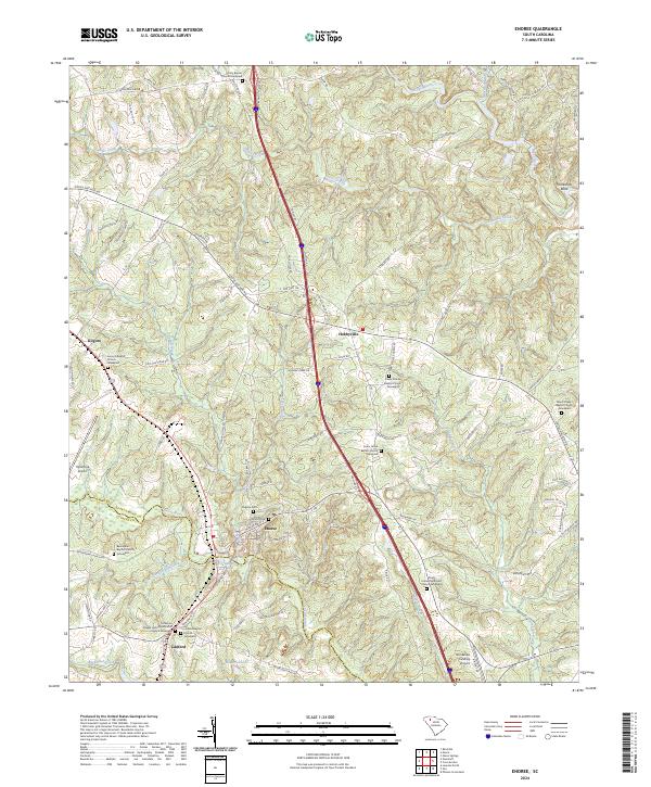
2024 Map of Enoree
USGS Topo · Published 2024About this map
The Enoree River and Tyger River divide this Piedmont landscape, defining the rural character of southeastern Spartanburg County and northern Laurens County. The settlement of Enoree serves as a central hub, flanked by the smaller communities of Lanford, Hobbyville, and Kilgore. This area is dense with genealogical interest, particularly concentrated in the numerous historic churchyards and burial grounds that anchor local family histories. Genealogists can trace lineage at sites like Patterson Chapel United Methodist Church Graveyard, Lanford Baptist Church Graveyard, and the Virginia Cem. The terrain is marked by a complex network of creeks such as Jimmies Creek and Beaverdam Creek, while local aviation is represented by Triple Tree Airport and Horseshoe Landing Airport near the distinctive river bend at Horseshoe Bend.
Find a feature on this map
109 named features on this map. Tap any name to fly to it.
Don’t see what you’re looking for? This feature index may not catch every label — zoom into the map to look around manually.
Map Details
Editions of this 2024 Enoree Map
This is the sole edition of this map. No revisions or reprints were ever made.
Other maps of this area

1935 · Greer
USGS Topo · 1:48,000

1938 · Greer
USGS Topo · 1:62,500

1941 · Spartanburg
USGS Topo · 1:250,000

1947 · Spartanburg
USGS Topo · 1:62,500

1949 · Spartanburg
USGS Topo · 1:62,500

1953 · Spartanburg
USGS Topo · 1:250,000

1954 · Greenville
USGS Topo · 1:250,000

1957 · Fountain Inn
USGS Topo · 1:62,500

1957 · Greer
USGS Topo · 1:62,500

1958 · Greenville
USGS Topo · 1:250,000