
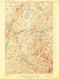
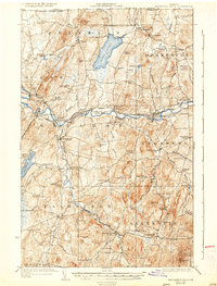
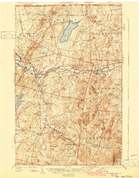
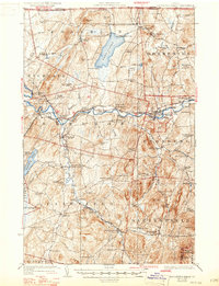
1924 Map of Enosburg Falls
USGS Topo · Published 1924About this map
The Missisquoi River cuts a prominent path through Franklin County, anchoring the early 20th-century economy of northern Vermont. This landscape is defined by its international proximity, with the Canada United States border marking the northern limit at Morses Line. The rail network of the Central Vermont and the St Johnsbury and Lake Champlain RR intersects at Sheldon Junction, facilitating the transport of local dairy and timber.
Find a feature on this map
110 named features on this map. Tap any name to fly to it.
Don’t see what you’re looking for? This feature index may not catch every label — zoom into the map to look around manually.
Map Details
Editions of this 1924 Enosburg Falls Map
5 editions found
Other maps of this area

1913 · Milton
USGS Topo · 1:48,000

1914 · St. Albans
USGS Topo · 1:48,000

1915 · Milton
USGS Topo · 1:62,500

1916 · St. Albans
USGS Topo · 1:62,500

1919 · Montgomery
USGS Topo · 1:62,500

1920 · Franklin Pond
USGS Topo · 1:62,500

1920 · Montgomery
USGS Topo · 1:62,500

1922 · Enosburg Falls
USGS Topo · 1:48,000

1925 · Jay Peak
USGS Topo · 1:62,500

1925 · Mount Mansfield
USGS Topo · 1:48,000